
What is recorded here
On a S-facing slope overlooking the estuary of the Dunkellin River to the S and 'Weir Village' to the SW. This very poorly preserved church is located in the N half of a roughly L-shaped graveyard (GA103-180001-). All that survives is the W gable (int. Wth 4.8m) and the returns of the N (L 2.2m) and S (L 1.7m) side-walls. No architectural features are visible. Quantities of seashells, mainly oyster shells, have been revealed in the cutting of modern paths in the SW corner of the graveyard. (McCaffrey 1952, 206, no. 19).
Compiled by: Galway Archaeological Survey, UCG
Date of upload: 3 April 2020
The monument record does not grant public access. Check the route and ask the landowner before entering private land.
- What survives
- Recorded monument
Places near here
 Grave YardGraveyard · 15 yd
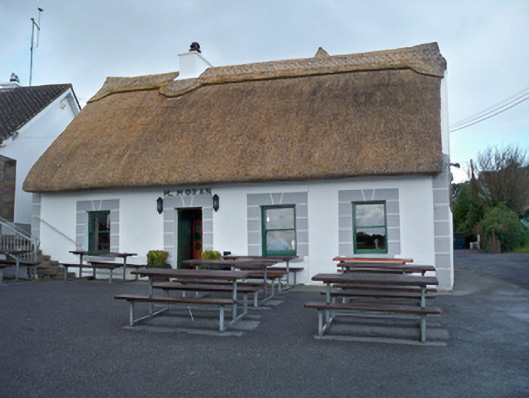 M. Moranhouse · 310 yd
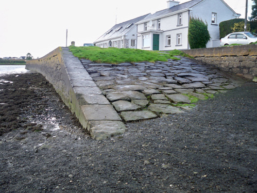 quay/wharfquay/wharf · 445 yd
 IndicatedFairy fort / stone ringfort · 459 yd
 Site of Kilcolgan CastleCastle, tower house · 887 yd
 Drumacoo Monastic SiteHeritage attraction · 1.1 mi
 Kilcornan ForestWood · 1.7 mi
 Loughaun WoodWood · 1.8 mi
 Bawn in Cregganna MoreBawn · 2.0 mi
 MweenisharanIslet · 2.2 mi
 Mweenish PointHeadland · 3.3 mi
 Fiddaun IslandIslet · 3.4 mi
Other information
Photo: Credit not shown in the picture search · Rights wording not checked; contact us if this picture should be removed