What is recorded here
Mortons and others may have inhabited the twin-banked fort, yet its sub-circular shape and hidden ditch still suggest a place where human memory and fairy tale both refuse to leave.
The following description is derived from both the published 'Archaeological Inventory of County Louth' (Dublin: Stationery Office, 1986) and the 'Archaeological Survey of County Louth' (Dublin: Stationery Office, 1991). In certain instances the entries have been revised and updated in the light of recent research.
Date of upload/revision: 17 July 2007
Sub-circular area (int. dims. c. 29m N-S, c. 24m E-W) enclosed by two earth and stone banks. Inner bank (Wth 3.5m, H 0.3m internally, 0.8m externally) much degraded except at N. Possible traces of internal stone facing to inner bank at SSW. Outer bank (Wth 3m, H 0.9m internally, 0.6m externally). Flat intervening space (Wth 6m) between the two banks may represent filled-in fosse.
The monument record does not grant public access. Check the route and ask the landowner before entering private land.
- What survives
- Recorded monument
Places near here
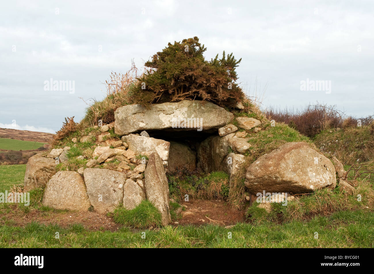 Caldragh Ancient Burial Gd.Burial ground · 679 yd
 IndicatedEcclesiastical enclosure · 701 yd
 bridgebridge · 850 yd
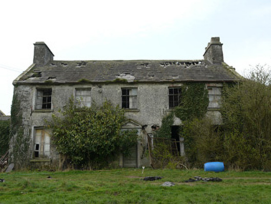 Rocksavagecountry house · 1.0 mi
 CastleCastle, unclassified · 1.2 mi
 Mannan Castle (in ruins)Castle, Anglo-Norman masonry castle · 3.9 mi
:no_upscale()/cdn.vox-cdn.com/uploads/chorus_asset/file/25593391/County_Louth_6th.jpg) LouthMountain / peak · 4.1 mi
LouthMountain / peak · 4.1 mi Flat cemetery in AnnaheanFlat cemetery · 4.4 mi
 Horse-chestnutHorse-chestnut · 4.8 mi
 European BeechEuropean Beech · 5.0 mi
 TobernagalliaghSpring · 5.3 mi
 Ballsmill Amenity LandPicnic place · 7.5 mi