What is recorded here
On top of a drumlin in pasture. A raised subcircular area (40m N-S; 38m E-W) enclosed by a substantial bank of earth and stone (Wth 7-8m; H 1m) with an external fosse (Wth 7.5m; D 0.4-1.5m). A field boundary skirts the monument from NW-NNW-N. A break (Wth 4m) in the bank at ESE may mark the original entrance.
Compiled by: Patrick F. O'Donovan
Date of upload: 18 January 2012
A local fairy fort (ringfort/rath); wider significance not recorded.
The monument record does not grant public access. Check the route and ask the landowner before entering private land.
- What survives
- Recorded monument
Places near here
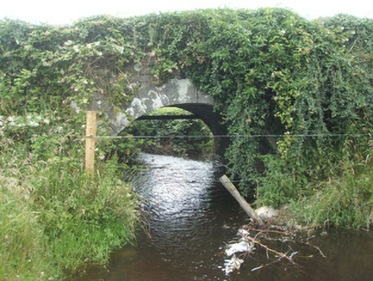 bridgebridge · 690 yd
 CastleBawn · 742 yd
 Lisraherty Bog WoodlandWood · 1.1 mi
 Portal tomb in BirrinaghPortal tomb · 1.1 mi
 Burnt spread in EnaghanBurnt spread · 1.1 mi
 White IslandIslet · 1.6 mi
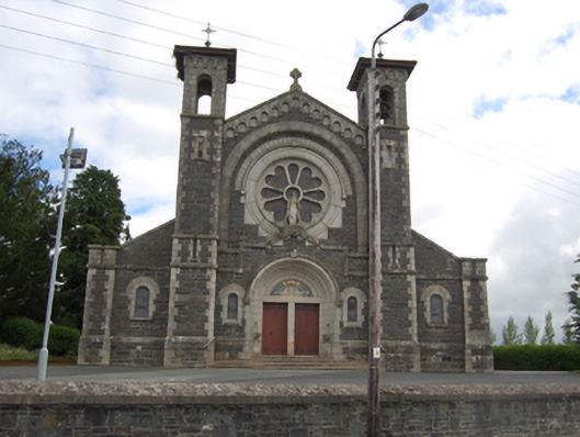 Saint Mary's Catholic Churchchurch/chapel · 1.7 mi
 Arnaghan NorthMountain / peak · 1.8 mi
 Gartylough Wet WoodlandWood · 2.2 mi
 Arnaghan SouthMountain / peak · 2.3 mi
 Cloone Ho.Castle, unclassified · 2.7 mi
 Scrabby IslandIslet · 2.9 mi