What is recorded here
Half the fort is gone to the sea, but the remaining earthen bank still stands on the cliff edge above Bantry Bay. People built a round home where the land ends and the ocean begins, then the ocean took back what it wanted. The break in the southern bank may have been a door, or may be the place where the cliff first bitten through. What is left is not a complete circle but a warning about how much of West Cork has already disappeared.
In pasture, on E-facing slope at cliff edge, overlooking Bantry Bay to N. Roughly circular area (20m N-S; 24m E-W) enclosed by earthen bank (H 1.3m) E->NNW. Cliff edge flush with outer bank face W->NNW; bank NNW->E and much of NE quadrant removed by erosion. Break in bank to S. Interior slopes down to the E.
The above description is derived from the published 'Archaeological Inventory of County Cork. Volume 1: West Cork' (Dublin: Stationery Office, 1992). In certain instances the entries have been revised and updated in the light of recent research.
Date of upload/revision: 14 January 2009
The monument record does not grant public access. Check the route and ask the landowner before entering private land.
- What survives
- Recorded monument
Places near here
 church/chapelchurch/chapel · 726 yd
 League PointHeadland · 1254 yd
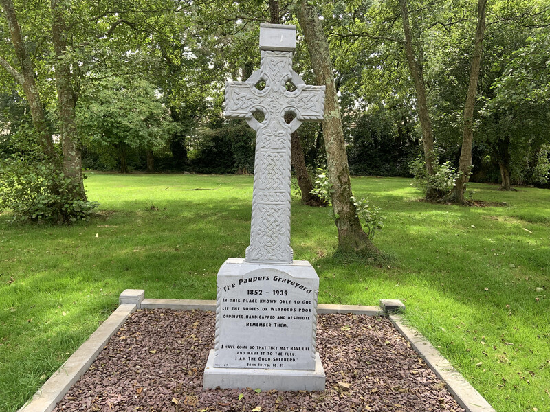 Killoveenege Burial Gd(Children)Burial ground · 1419 yd
 Durrus CheeseHeritage attraction · 1.1 mi
 Coomkeen Loop WalkWalking route · 1.2 mi
 Man-made underground passage in BoolteenaghMan-made underground passage · 1.7 mi
 KnockboolteenaghMountain / peak · 1.7 mi
 schoolschool · 2.1 mi
 Lousy Castle IslandIslet · 2.3 mi
 Coolnalong Castle (in Ruins)House, fortified house · 2.3 mi
 Rossmore Castle (in Ruins)Castle, tower house · 3.1 mi
 Mannion's Island (Small)Islet · 3.1 mi