What is recorded here
Fairy forts are not a separate kind from ordinary ringforts. They are common rural fortifications that later became connected to fairy traditions. The circular earthworks, entrance gaps and surrounding fields appear across the countryside because people built and reused them in many places.
Situated towards the bottom of a N-facing slope. The cropmark of a circular area (diam. c. 55m) defined by a single bank feature is visible on the OSI series of aerial images (1995). It was first identified by Ivor Kenny.
Compiled by: Michael Moore
Date of upload: 2 January, 2015
A fairy fort or earthen ringfort in Roestown, likely an early-medieval agricultural or defensive site, is marked by a circular bank visible as a cropmark on aerial photographs. Local tradition associates such sites with fairy lore, often considering them portals to the Otherworld.
The monument record does not grant public access. Check the route and ask the landowner before entering private land.
- What survives
- Recorded monument
Places near here
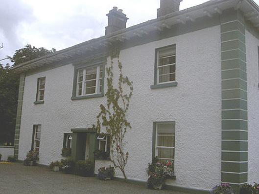 Roestown Househouse · 624 yd
 Trinity WellHoly well · 732 yd
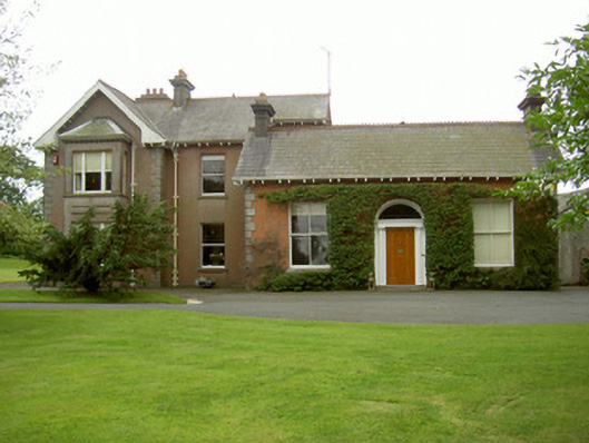 Hoathstown Housefarm house · 1063 yd
 Garretts FortFairy fort / earthen ringfort · 1241 yd
 Not idicatatedCastle, unclassified · 1426 yd
 Graveyard in StickillinGraveyard · 1.2 mi
 Dawsons MoatCastle, motte and bailey · 1.7 mi
 Monterey CypressMonterey Cypress · 1.9 mi
 Graveyard in Richardstown (ardee By., Richardstown Par.)Graveyard · 1.9 mi
 European White ElmEuropean White Elm · 2.4 mi
 Mount OrielMountain / peak · 3.4 mi
 Black HillMountain / peak · 4.0 mi