What is recorded here
Fairy fort / earthen ringfort in Rockingham Demesne (boyle By., Rockingham.ed) is a fairy fort or earthen ringfort in Rockingham Demesne (boyle By., Rockingham.ed), County Roscommon, Ireland. It occupies a circular grass-covered area forty-one to forty-two metres across on a hilltop, bounded by a shallow scarp rather than a visible bank, fosse or entrance. A gazebo and tree-ring stand just to the northwest, and the site appears only on the 1914 edition of the Ordnance Survey six-inch map.
Marked only on the 1914 ed. of the OS 6-inch map, and situated on top of a hill. Circular grass-covered area (diam. 41-42m) defined by a scarp (H 0.3-0.8m). There is no visible bank, fosse or entrance. A gazebo and tree-ring, both marked on the 1837 ed. of the OS 6-inch map, are just to the NW.
Compiled by: Michael Moore
Date of upload: 24 August 2010
The monument record does not grant public access. Check the route and ask the landowner before entering private land.
- What survives
- Recorded monument
Places near here
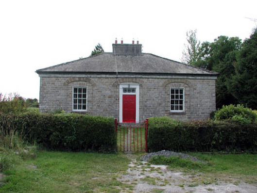 worker's houseworker's house · 681 yd
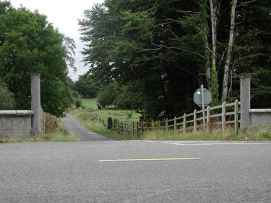 Rockingham Housedemesne walls/gates/railings · 713 yd
 Embanked enclosureFairy fort / stone ringfort · 840 yd
 IndicatedFairy fort / earthen ringfort · 902 yd
 Longford HillMountain / peak · 1280 yd
 Lough Key Forest ParkWood · 1505 yd
 Horse-chestnutHorse-chestnut · 1583 yd
 Western RedcedarWestern Redcedar · 1.0 mi
 Castle IslandIslet · 1.2 mi
 Green IslandIslet · 1.3 mi
 Erris BayBay · 1.5 mi
 Moylung Castle (in ruins)Castle, unclassified · 2.5 mi