What is recorded here
Fairy fort in Robertstown, County Meath: a circular grass-covered enclosure about 35m across, marked by a worn earthen scarp, a broad shallow fosse and a lower outer bank on a slight rise. The entrance has disappeared under grass and bushes, but the shape still reads as a made place, not a random mound. In a flat landscape that ring would have stood out, excluded rainwater, marked territory and gave people a defensible or ceremonial centre. The fairy name may be later invention, yet it fits the mystery: a small strongholds built by ordinary hands, now returning its details to legend.
Situated on a low rise in a fairly level landscape, with a small canalised NW-SE stream c. 100m to the SW. This is a circular grass-covered area (diam. 35m WNW-ESE; 33m NNE-SSW) defined by the lip of an earthen bank largely reduced to an external scarp (at NE: Wth 1m; H 2.4m), which is separated by a fosse (at SW: Wth of top 9m; int. D 2.6m; ext. D 0.5m) from an outer bank (at SW: Wth of base 8m; ext. H 1.3m) SSE-W-NNW. The original entrance is not identified, and there are some bushes on the inner scarp and outer bank.
The above description is derived from the published 'Archaeological Inventory of County Meath' (Dublin: Stationery Office, 1987). In certain instances the entries have been revised and updated in the light of recent research.
Compiled by: Michael Moore
Date of revision: 9 April 2019
The monument record does not grant public access. Check the route and ask the landowner before entering private land.
- What survives
- Recorded monument
Places near here
 Owenroe and Moynalty DrainageMemorial · 954 yd
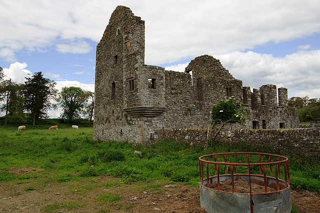 IndicatedHouse, fortified house · 1196 yd
 Bawn in Robertstown (kells Lower By.)Bawn · 1204 yd
 Church in Robertstown (kells Lower By.)Church · 1479 yd
 CrossCross, Churchyard cross · 1.3 mi
 Enclosure in MarvelstownEnclosure · 1.4 mi
 Fox CovertForest · 1.6 mi
 The GroveForest · 1.7 mi
 GravelstownMountain / peak · 2.0 mi
 DeerparkMountain / peak · 2.2 mi
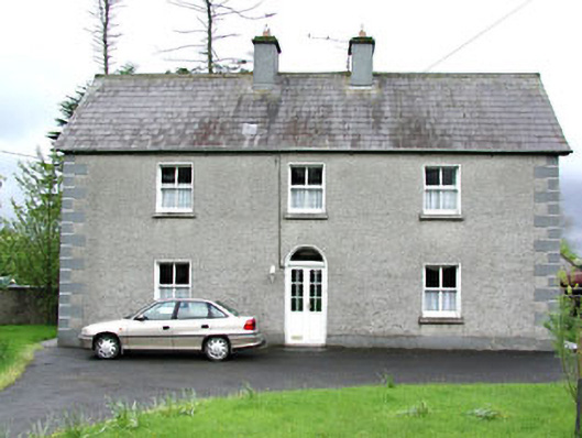 Reask Housefarm house · 2.3 mi
 John Mac MahonMemorial · 2.7 mi