What is recorded here
Situated on a slight rise, in gently undulating pasture. Depicted on the revised 1913 ed. OS 25-inch map as a suboval-shaped earthwork. Monument described as a small circular-shaped area (diam. 30m) defined by a tree-lined steep scarp with faint traces of a wide external fosse. The scarp may have been steepened when the trees were planted. The perimeter is disturbed in several places by livestock and tree roots. The original entrance is not recognisable, although there is a large gap at SE. Monument is visible today as a circular-shaped tree-lined earthwork on Digital Globe aerial photography.
See attached profile of monument surveyed and drawn by the ASI.
Compiled by Alison McQueen, Vera Rahilly and Caimin O’Brien.
Date of upload: 06 November 2019
The monument record does not grant public access. Check the route and ask the landowner before entering private land.
- What survives
- Recorded monument
Places near here
 23rd Locklock · 457 yd
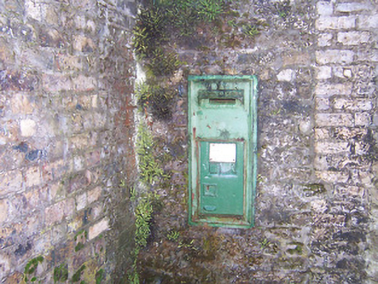 post boxpost box · 463 yd
 Hut site in BallinlaHut site · 994 yd
 Ecclesiastical site in CrossanstownEcclesiastical site · 1264 yd
 CastleCastle, unclassified · 1399 yd
 Rathwire Moat & CastleCastle, motte and bailey · 1.4 mi
 ScregganWood · 6.5 mi
 Abandoned Kinnegad CanalWood · 6.5 mi
 Croppies' GraveMemorial · 7.5 mi
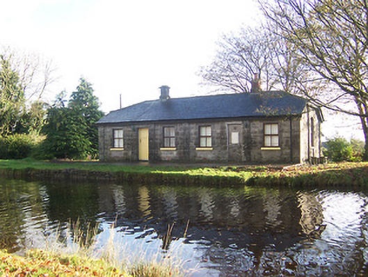 lock keeper's houselock keeper's house · 476 yd
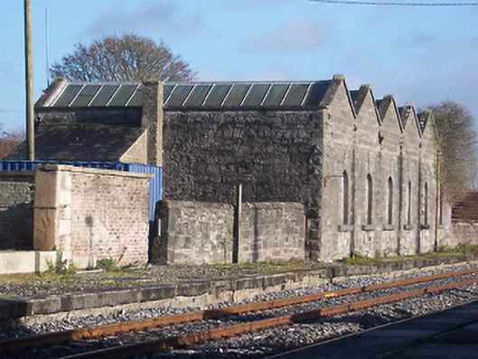 Killucan Railway Stationstore/warehouse · 485 yd
 22nd Locklock · 578 yd