What is recorded here
Fairy fort in Rincoolagh, County Longford, is a 47-metre earthen ring on a low pasture rise, its west, north and east edges still marked by a scarp between thirty centimetres and a metre high. A laneway cuts the south, and a broad shallow fosse lies beyond, while the southeast may have held the true entrance. People called it a fairy fort because the shape appeared complete enough to believe, yet human hands built every ridge and ditch.
On a low rise in pasture. A raised circular area (diam. c. 47m) defined from WNW-N-S by a scarp (H 0.3-1.15m). A NW-SE laneway cuts the monument at S; at its outer edge are the remains of a possible fosse (Wth c. 7m; D 0.8-0.9m). A report in 1975 (SMR file) suggested that the original entrance may have been at SE.
Compiled by: Patrick F. O'Donovan
Date of upload: 15 January 2012
The monument record does not grant public access. Check the route and ask the landowner before entering private land.
- What survives
- Recorded monument
Places near here
 Enclosure in RincoolaghEnclosure · 225 yd
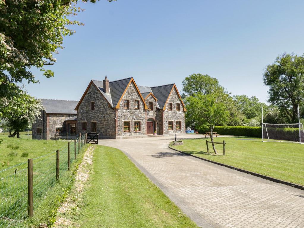 ToberreendoneyHoly well · 1138 yd
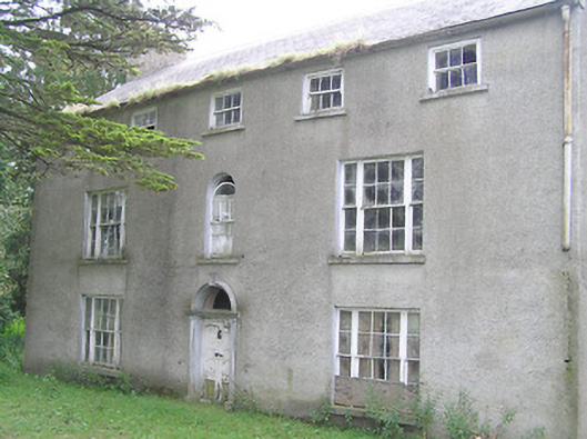 Killasona Housecountry house · 1.0 mi
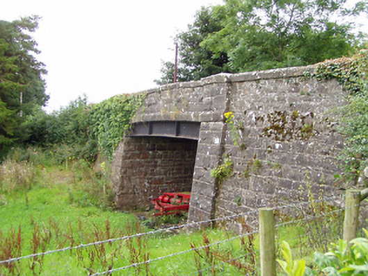 bridgebridge · 1.0 mi
 CastleCastle, motte · 2.2 mi
 Site of Castle NugentCastle, unclassified · 2.5 mi
 1798 Monumentmonument · 2.9 mi
 Granard MotteMotte-and-bailey castle remains · 2.9 mi
 CarrickMountain / peak · 4.0 mi
 CarrickabaneMountain / peak · 4.2 mi
 Watty's RocksIslet · 4.2 mi
 Sporting RockIslet · 4.5 mi