What is recorded here
Fairy forts are not fairy forts. They are human made and the fairies moved in later. The fort in Rincoolagh had a wide bank and shallow ditch around a circular space fifty metres across. It stood on a gentle slope facing northeast. Men built it to keep out wolves, thieves and perhaps other people. The fairies came afterwards and took the name for themselves. Ploughs and machines have since erased the mark. What remains is the shape in memory and the certainty that fairies do not build, they occupy. Human hands made the ring. Fairy stories filled it later. Both are true because they belong to different times.
On a gentle NE-facing slope. Depicted as a large D-shaped enclosure with the designation 'Fort' on the 1837 ed. of the OS 6-inch map. A report in 1975 (SMR file) recorded a circular area (diam. c. 50m) enclosed by a wide low bank of earth and stone with a wide, shallow, external fosse. The monument has since been levelled and is not visible at ground level.
Compiled by: Patrick F. O'Donovan
Date of upload: 26 August 2011
The monument record does not grant public access. Check the route and ask the landowner before entering private land.
- What survives
- Recorded monument
Places near here
 Enclosure in RincoolaghEnclosure · 481 yd
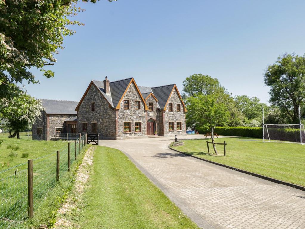 ToberreendoneyHoly well · 871 yd
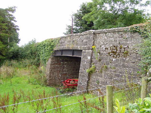 bridgebridge · 1733 yd
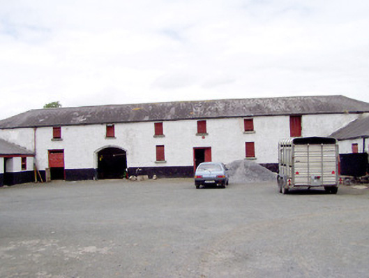 Toneen Lodgeoutbuilding · 1.0 mi
 CastleCastle, motte · 2.3 mi
 Site of Castle NugentCastle, unclassified · 2.5 mi
 1798 Monumentmonument · 2.8 mi
 Granard MotteMotte-and-bailey castle remains · 2.8 mi
 CarrickMountain / peak · 3.9 mi
 CarrickabaneMountain / peak · 4.1 mi
 Watty's RocksIslet · 4.2 mi
 Sporting RockIslet · 4.4 mi