What is recorded here
A 34-metre earthen ring in Riddlestown pasture still stands on the southeast slope. People may have lived inside it before fields and walls took over the bank. The gaps at west and south-east suggest doors rather than decay. The land remembers the shape even when the story has faded.
In pasture, on SE-facing slope. Circular area (diam. 34m) enclosed by earthen bank, with external fosse (D 0.65m; Wth 2m) SE->N. Bank (int. H 0.9m; ext. H 1.9m), best preserved along S arc, is incorporated into field boundary N->SE with low stone wall running along top. Bank is completely masked by vegetation overgrowth WNW->NE. Gaps in bank at W (Wth 2m) and SSE (Wth 1.8m). Bank is abutted by field boundaries at N and SE; latter meets another field boundary which clips outer edge of fosse SE->SW. Counterscarp earth-and-stone bank (ext. H 0.35m) at NW. Interior, covered with briars and bushes, slopes down gently to S.
Compiled by: Denis Power
Date of upload: 26 August 2011
See attached ASI aerial photographs ASIAP – taken on 04/03/2006.
The monument record does not grant public access. Check the route and ask the landowner before entering private land.
- What survives
- Recorded monument
Places near here
 Field system in CloghanaroldField system · 655 yd
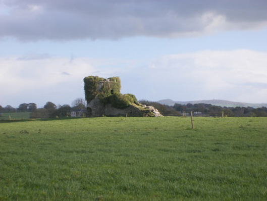 kilnkiln · 795 yd
 TobernawathaHoly well · 919 yd
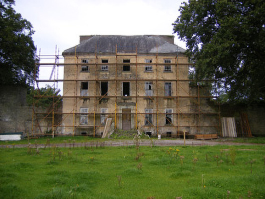 Riddlestown Parkcountry house · 1167 yd
 Bawn in Lisnacullia (connello Lower By.)Bawn · 1631 yd
 TobernablahySpring · 1644 yd
 Bawn in StonevilleBawn · 1.2 mi
 St. Kieran's WellSpring · 1.6 mi
 European ashEuropean ash · 3.2 mi
 Flat cemetery in CroaghFlat cemetery · 4.1 mi
 Askeaton CastleHeritage attraction · 4.8 mi
 Little HeavenHeritage attraction · 6.1 mi