What is recorded here
Fairy fort in Riddlestown, County Limerick: a 34-by-36-metre earthen ring on a SE-facing pasture slope, its bank still standing about a metre inside and fourteen metres outside, with a dry-stone skin along the outer edge. The stones may have been torn from the fort to build nearby field boundaries, which is why two modern walls press against it like hands pulling skin. The gap at the northeast is not a mistake but an invitation: walk through, drop to one knee, and listen for the shape of the room hidden under grass and thistles.
In pasture, on SE-facing slope. Roughly circular area (34m N-S; 36m E-W) enclosed by earthen bank (int. H 1m; ext. H 1.4m), best preserved WSW->ENE. Bank has an external dry-stone facing (H 0.8m), similar to field boundary which abuts it at NNE. Another field boundary abuts enclosure at SSW. A slightly raised farm-passage skirts around external base of bank NNE->SSW. Gap in bank (Wth 2.8m) at NE. Interior is covered with thistles and slopes down to SE. A heap of stones has been dumped against external bank face at NNW.
Compiled by: Denis Power
Date of upload: 26 August 2011
See attached ASI aerial photographs ASIAP – taken on 04/03/2006.
The monument record does not grant public access. Check the route and ask the landowner before entering private land.
- What survives
- Recorded monument
Places near here
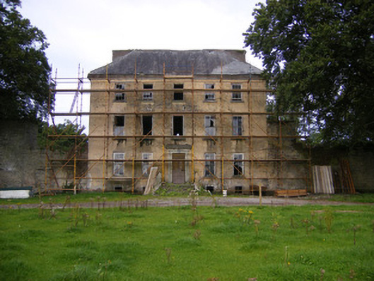 Riddlestown Parkcountry house · 915 yd
 Field system in CloghanaroldField system · 1118 yd
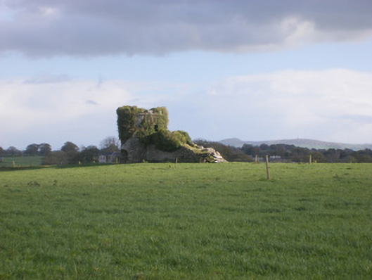 kilnkiln · 1182 yd
 Bawn in Lisnacullia (connello Lower By.)Bawn · 1211 yd
 TobernawathaHoly well · 1261 yd
 TobernablahySpring · 1.0 mi
 Bawn in StonevilleBawn · 1.4 mi
 St. Kieran's WellSpring · 1.5 mi
 European ashEuropean ash · 3.4 mi
 Flat cemetery in CroaghFlat cemetery · 4.3 mi
 Askeaton CastleHeritage attraction · 4.7 mi
 Little HeavenHeritage attraction · 6.2 mi