What is recorded here
Fairy fort / earthen ringfort in Rhine is a circular earthwork about twenty-five metres across on a southwest-facing pasture slope, still marked as a fort on the 1837 Ordnance Survey map. Much of its rim has been levelled, and a modern field boundary cuts across the middle, but the surviving scarp and its name suggest people once shaped the land into a small defended or ceremonial space. The Camlin River flows eighty metres to the southwest, giving the place a quiet riverside setting where human activity and fairy-tale belief still tangle together.
On a SW-facing slope in pasture; the Camlin River is c. 80m to the SW. Depicted as a circular enclosure with the designation 'Fort' on the 1837 ed. of the OS 6-inch map. A circular area (diam. c. 25.5m) is defined by a low scarp from SE-NW; elsewhere it has been levelled. It is divided into roughly equal portions by a modern NW-SE field boundary.
Compiled by: Patrick F. O'Donovan
Date of upload: 26 August 2011
The monument record does not grant public access. Check the route and ask the landowner before entering private land.
- What survives
- Recorded monument
Places near here
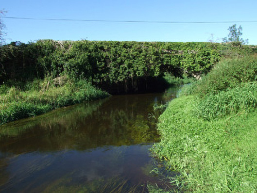 bridgebridge · 159 yd
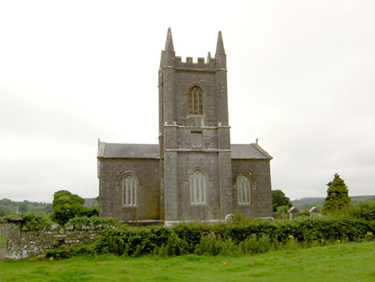 Saint Catherine's Church (Killoe)church/chapel · 445 yd
 Enclosure in Aghaboy (longford By.)Enclosure · 1.4 mi
 CastleCastle, motte · 1.9 mi
 Grave YdGraveyard · 2.0 mi
 Bawn in CurrycahillBawn · 2.0 mi
 Ballinalee Forest WalkForest · 2.2 mi
 Bully's Acregraveyard/cemetery, unknown · 2.3 mi
 Saint Mel's CathedralCathedral · 4.5 mi
 First World War MemorialMemorial · 4.6 mi
 Graveyard in Curry (ardagh By., Coolamber Ed)Graveyard · 6.8 mi
 Granard MotteMotte-and-bailey castle remains · 8.1 mi