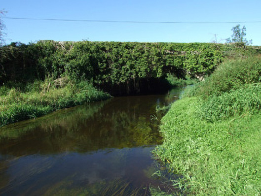
What is recorded here
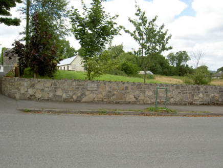
Single-arch road bridge over the Camlin River, built c. 1860. Constructed of coursed rock-faced limestone with rounded dressed limestone coping over parapet walls. Bridge largely overgrown with ivy. Terminating piers to either side of arch having splayed bases and with dressed coping over. Segmental-headed arch with…
Read the whole record
From the Buildings of Ireland (National Inventory of Architectural Heritage) record 13400915
Places near here
Picture notes
- National Inventory of Architectural Heritage
- Computer-made picture. It does not show this holy well.
- Computer-made picture. It does not show this playground.
- Computer-made picture. It does not show this garden.
- 瑞丽江的河水, Wikimedia Commons · CC BY-SA 4.0
- Granard Motte.png : Smcq Derivative work: Hogweard, Wikimedia Commons · CC BY-SA 3.0
- Charles T. G. Clarke, Wikimedia Commons · CC BY-SA 4.0
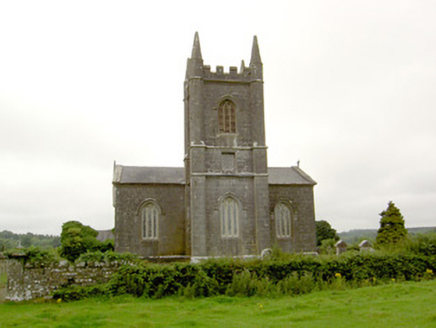 Saint Catherine's Church (Killoe)Church/chapel · 364 yd
Explorer Tom Saint Catherine's Church (Killoe) has caught my eye in Killoe Glebe, County Longford. I bet a church/chapel with a name like that could keep me talking all afternoon; I'm already inventing a daft little scene for it, and I'll stop before it turns into history.
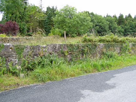 Farragh HouseDemesne walls/gates/railings · 726 yd
Explorer Tom Farragh House has caught my eye in Farraghroe, County Longford. I bet a demesne walls/gates/railings with a name like that could keep me talking all afternoon; I'm already inventing a daft little scene for it, and I'll stop before it turns into history.
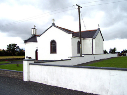 Saint Oliver Plunkett's Catholic ChurchChurch/chapel · 1624 yd
Explorer Tom Saint Oliver Plunkett's Catholic Church has caught my eye in Killyfad, County Longford. I bet a church/chapel with a name like that could keep me talking all afternoon; I'm already inventing a daft little scene for it, and I'll stop before it turns into history.
 Bully's AcreGraveyard/cemetery, unknown · 2.3 mi
Explorer Tom Bully's Acre has caught my eye in Ballinalee Or Saintjohnstown, County Longford. I bet a graveyard/cemetery, unknown with a name like that could keep me talking all afternoon; I'm already inventing a daft little scene for it, and I'll stop before it turns into history.
 Sunday WellHoly well · 3.6 miComputer-made picture. It does not show this holy well.
Explorer Tom Sunday Well has caught my eye in Feraghfad, County Longford. I bet a holy well with a name like that could keep me talking all afternoon; I'm already inventing a daft little scene for it, and I'll stop before it turns into history.
 Children's playground4.0 miComputer-made picture. It does not show this playground.
Explorer Tom Children's playground has caught my eye in County Longford. I bet a children's playground with a name like that could keep me talking all afternoon; I'm already inventing a daft little scene for it, and I'll stop before it turns into history.
 Walled GardenGarden · 4.1 miComputer-made picture. It does not show this garden.
Explorer Tom Walled Garden has caught my eye in County Longford. I bet a garden with a name like that could keep me talking all afternoon; I'm already inventing a daft little scene for it, and I'll stop before it turns into history.
 First World War MemorialMemorial · 4.5 mi
Explorer Tom First World War Memorial has caught my eye in County Longford. I bet a memorial with a name like that could keep me talking all afternoon; I'm already inventing a daft little scene for it, and I'll stop before it turns into history.
 Moat of GranardCastle, motte and bailey · 8.2 mi
Explorer Tom Moat of Granard has caught my eye in Granard, Moatfield, County Longford. I bet a castle, motte and bailey with a name like that could keep me talking all afternoon; I'm already inventing a daft little scene for it, and I'll stop before it turns into history.
 1798 MonumentMonument · 8.3 mi
Explorer Tom 1798 Monument has caught my eye in Granard, County Longford. I bet a monument with a name like that could keep me talking all afternoon; I'm already inventing a daft little scene for it, and I'll stop before it turns into history.
 Coolamber CastleHouse, fortified house · 9.4 mi
Explorer Tom Coolamber Castle has caught my eye in Coolamber, County Longford. I bet a house, fortified house with a name like that could keep me talking all afternoon; I'm already inventing a daft little scene for it, and I'll stop before it turns into history.
 St. Patricks WellHoly well · 10 miComputer-made picture. It does not show this holy well.
Explorer Tom St. Patricks Well has caught my eye in Toome, County Longford. I bet a holy well with a name like that could keep me talking all afternoon; I'm already inventing a daft little scene for it, and I'll stop before it turns into history.
More historic places in County Longford · All of County Longford

What do you know about this place?Tap to add a comment or ask a question