What is recorded here
Fairy fort in Rhine: a 26m circular earth-and-stone bank with a shallow outer ditch and an eastern entrance, beside a spring well in level pasture. People may have lived there, fenced stock, or kept the circle clear because the water and shape felt wrong at dusk. The measurements are plain, but the name still points to the part humans did not understand.
In level pasture; a spring well lies adjacent at WNW. A raised circular area (diam. 26m) enclosed by a bank of earth and stone (Wth 4m; H 0.5-0.9m) with a wide, shallow, external fosse (Wth 5.8-6.4m; D 0.45-1m). A break (Wth 4m) in the bank at E marks the original entrance.
Compiled by: Patrick F. O'Donovan
Date of upload: 26 August 2011
The monument record does not grant public access. Check the route and ask the landowner before entering private land.
- What survives
- Recorded monument
Places near here
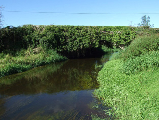 bridgebridge · 824 yd
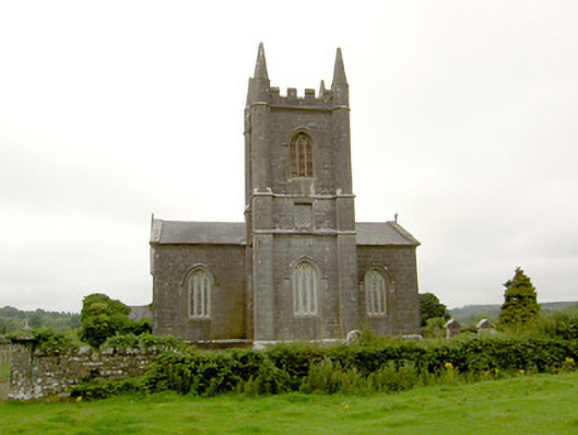 Saint Catherine's Church (Killoe)church/chapel · 1188 yd
 Enclosure in Aghaboy (longford By.)Enclosure · 1.2 mi
 Grave YdGraveyard · 1.6 mi
 Bawn in CurrycahillBawn · 1.6 mi
 Ballinalee Forest WalkForest · 1.8 mi
 Bully's Acregraveyard/cemetery, unknown · 1.9 mi
 Moat & CastleCastle, motte and bailey · 2.6 mi
 Saint Mel's CathedralCathedral · 4.9 mi
 First World War MemorialMemorial · 5.0 mi
 InchmoreIslet · 6.8 mi
 Graveyard in Curry (ardagh By., Coolamber Ed)Graveyard · 7.2 mi