What is recorded here
That is a fairy fort, an earthen ringfort in Reynoldstown, County Louth. It sits on the spine and east-facing slope of a west-east spur, holding a circular space roughly twenty-eight metres across. A rectangular enclosure joins its outer edge, perhaps belonging to an old field system rather than the fort itself. The earth has swallowed the walls, leaving only a faint shadow in the soil that waits for dry seasons to reveal its shape.
located on the spine and the E-facing slope of a W-E spur. The cropmark of a circular feature (diam. c. 28m N-S; c. 25m E-W) is defined by a fosse that is separated from an outer fosse (ext. diam. c. 40m E-W) is visible only on Digital Goble (2011-13). The outer fosse is absent NNW-NE where a rectangular enclosure (dims c. 35m E-W; c. 30m plus), perhaps part of a field system, is attached. The outer fosse is also missing SE-SW, and the cropmark of a N-S field drain, probably post-medieval in date, extends N and S at the W edge, touching the outer fosse tangentially. The monument was first reported by Jean Charles Caillére.
See the attached enhanced view from Digital Globe (2013-18)
Compiled by: Michael Moore
Date of upload: 21 January 2022
The monument record does not grant public access. Check the route and ask the landowner before entering private land.
- What survives
- Recorded monument
Places near here
 Enclosure in DalesEnclosure · 740 yd
 Enclosure in MayneEnclosure · 1125 yd
 Church (in ruins)Church · 1404 yd
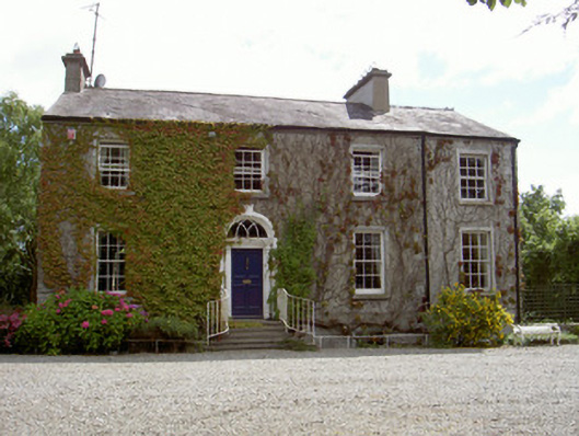 Walshestown Housecountry house · 1637 yd
 Castle RuinsCastle, tower house · 2.0 mi
 Chapel (in Ruins), GraveyardChurch · 2.0 mi
 Moneyveg WoodForest · 2.3 mi
 Graveyard in DysartGraveyard · 2.6 mi
 Sweet baySweet bay · 2.7 mi
 BarmeathCastle, tower house · 2.7 mi
 Tullydonnell HillMountain / peak · 3.6 mi
 MonasterboiceEarly monastic site · 5.8 mi