What is recorded here
Relagh More is a circular earthen fort with two banks and outer ditches, large enough for thirty-six metres across the middle. It is no longer a separate shape in the field because the outer bank and ditch became the boundary people still walk beside. The entrance has vanished under soil and use, but the circle remains, holding the shape of a place that stopped being a home and became a line on the land.
Raised circular area (int. diam. c. 36m) enclosed by two earthen banks with outer fosses. Both the external bank and the outer fosse, which is waterlogged and infilled from ESE-S-SW, have been largely incorporated into the field boundary. Original entrance not recognisable.
The above description is derived from the published 'Archaeological Inventory of County Cavan' (Dublin: Stationery Office, 1995). In certain instances the entries have been revised and updated in the light of recent research.
Date of upload/revision: 22 December 2008
The monument record does not grant public access. Check the route and ask the landowner before entering private land.
- What survives
- Recorded monument
Places near here
 MoatCastle, motte and bailey · 814 yd
 Church (in ruins)Church · 960 yd
 Grave YardGraveyard · 961 yd
 Tullynaskeagh WestForest · 1274 yd
 Tullynaskeagh EastForest · 1287 yd
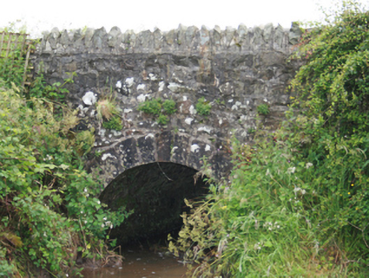 County Bridgebridge · 1507 yd
 Blackhills LowerMountain / peak · 1.1 mi
 CarnagarveMountain / peak · 1.3 mi
 EnclosureEnclosure, large enclosure · 1.4 mi
 Sit of Old CastleCastle, unclassified · 2.8 mi
 Birthplace of General Philip SheridanMemorial · 3.5 mi
 In Memory of Patrick KiernanMemorial · 3.7 mi