What is recorded here
Fairy forts are not fairy forts. They are human ringforts, misnamed later. This is one of them: a round earthwork in Reenroe, County Cork, with a bank high enough to keep out weather and perhaps neighbours. The fairies entered the story later, as they do everywhere humans stop remembering their own ancestors.
In pasture, on NE-facing slope. Circular, slightly raised area (19.5m N-S; 18.4m E-W) enclosed by earthen bank (H 3.3m), stone faced in parts; with stepped scarp NE->ENE. Break (Wth 1.2m) in bank to E. Interior raised on N side to compensate for hill slope.
The above description is derived from the published 'Archaeological Inventory of County Cork. Volume 1: West Cork' (Dublin: Stationery Office, 1992). In certain instances the entries have been revised and updated in the light of recent research.
Date of upload/revision: 14 January 2009
The monument record does not grant public access. Check the route and ask the landowner before entering private land.
- What survives
- Recorded monument
Places near here
 Structure in Reenroe (carbery West (e.d) By.)Structure · 267 yd
 Mound in Reenroe (carbery West (e.d) By.)Mound · 386 yd
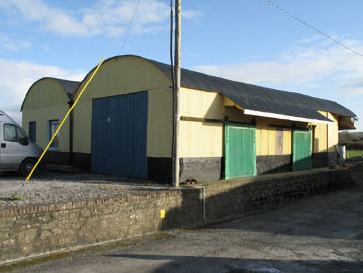 railway stationrailway station · 1352 yd
 Derreeney Housecountry house · 1.0 mi
 Lissangle Castle (Site of)Castle, unclassified · 1.6 mi
 Ballyourane Castle (in Ruins)Castle, unclassified · 2.6 mi
 Moyny Bridge WalkWalking route · 2.8 mi
 Drimoleague Heritage Loop WalkWalking route · 3.0 mi
 Bishop MahonyMemorial · 4.9 mi
 Heritage CentreMuseum · 5.0 mi
 Mount KidMountain / peak · 5.0 mi
 Francis O'Neill PlaqueMemorial · 5.8 mi