What is recorded here
Situated on a slight NE-facing slope, at the base of a gentle rise, in pasture, with good views to ESE. Ringfort (WM025-080----) lies c. 100m to N. Not depicted on OS historic mapping. Monument described in 1971 as a much disturbed roughly circular-shaped area defined by intermittent portions of an earth and stone bank visible from E-SSE and a second shorter portion visible at NW. A large part of the perimeter and interior have been removed in the SW quadrant and there is a small elongated mound of spoil in the SSW area of the interior. The level of the interior merges with the external ground surface from NW-N-E and there are traces of cultivation ridges running N-S. There is no visible trace of an external fosse and no entrance feature visible. There is a slight fosse-like depression due to relatively recent digging at the base of the bank at E.
See attached profile of monument surveyed and drawn by the ASI.
Compiled by Alison McQueen, Vera Rahilly and Caimin O’Brien.
Date of upload: 12 September 2019
This remains an important historical record, but the official description says the monument is no longer visible or has been destroyed. The monument record does not grant public access. Check the route and ask the landowner before entering private land.
- What survives
- No visible remains or recorded as destroyed
Places near here
 Dotted outlineFairy fort / earthen ringfort · 527 yd
 Dotted outlinedFairy fort / earthen ringfort · 703 yd
 CastleCastle, unclassified · 903 yd
 Taghboyne Church in ruinsChurch · 996 yd
 Redmondstowndemesne walls/gates/railings · 1050 yd
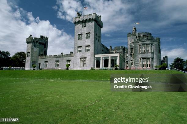 Glomerstown CastleCastle, unclassified · 1656 yd
 Ancient Ring FortWood · 2.0 mi
 Hill of UisneachMountain / peak · 2.2 mi
 European ashEuropean ash · 2.8 mi
 KnockastiaMountain / peak · 5.2 mi
 Bonfire HillMountain / peak · 8.6 mi
 Abbeyshrule AbbeyRuins · 9.4 mi