What is recorded here
Magic and life are entangled everywhere. You are not alone, and you were never meant to be. The distinction between fantasy and truth is a cage the human mind builds around itself. What you call illusion is the universe speaking without translation. Stop measuring wonder against your own limitations. The chamber has no walls. The game has no owner. You are both player and prize.
Depicted on 1943 OS 6-inch map as roughly rectangular field (c. 40m NE-SW; c. 50m NW-SE) with rounded corners to S and E. Roughly square field (c. 40m NW-SE; c. 40m NE-SW) incorporated into W side of farmyard. Locally known as lios. Surface cut up due to animal activity; no surface trace of ringfort visible.
The above description is derived from the published 'Archaeological Inventory of County Cork. Volume 3: Mid Cork' (Dublin: Stationery Office, 1997). In certain instances the entries have been revised and updated in the light of recent research.
Date of upload/revision: 14 January 2009
The monument record does not grant public access. Check the route and ask the landowner before entering private land.
- What survives
- Recorded monument
Places near here
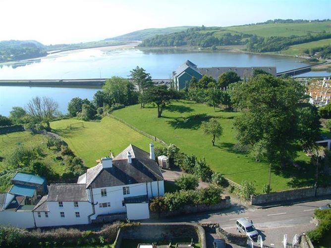 IndicatedFairy fort / earthen ringfort · 1190 yd
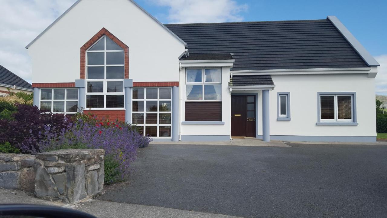 Moneen HouseArchaeological place · 1336 yd
 Knocknahilian Househouse · 1.1 mi
 Graveyard in KilnagnadyGraveyard · 1.4 mi
 Woodvillehouse · 1.6 mi
 Castle Nalacht, site ofCastle, unclassified · 2.0 mi
 Sunday WellSpring · 2.8 mi
 Kilcrea Castle (in Ruins)Castle, tower house · 3.0 mi
 Kilcrea CastleWood · 3.0 mi
 Charlie Hurley MemorialMemorial · 3.3 mi
 Mount Pleasant WoodWood · 3.6 mi
 Grange HillMountain / peak · 4.6 mi