What is recorded here
Situated on elevated W facing slope of Mullaghmeen Hill. Ringfort (WM001-023----) 420m to NW, second ringfort (WM001-026----) 350m to SSE. A heavily overgrown ringfort consisting of a circular area (diam. 52m) enclosed by a substantial earthen bank and wide deep fosse with no entrance feature visible. From S to W outside the fosse there are the remains of a low stone wall which appears to be post-1700 in date and probably represents a field boundary. The interior slopes from NE-SW. Inside the ringfort there is a low curving bank of earth and stones the significance of which is unclear. The Wend of the ringfort is cut off by the remains of a low stone wall running N-S through the interior. Near the bank on the W side is a depression which looks like a hut site. However this is probably a more modern feature, the result of digging or the removal of bushes. The overgrown nature of the monument makes detailed examination impossible.
See attached profile of monument surveyed and drawn by the ASI.
Compiled by: Frank Coyne & Caimin O'Brien
Date of upload: 16 November 2016
The monument record does not grant public access. Check the route and ask the landowner before entering private land.
- What survives
- Recorded monument
Places near here
 Balnacart Millmill (water) · 333 yd
 Enclosure in FoyranEnclosure · 969 yd
 MullaghmeenMountain / peak · 1107 yd
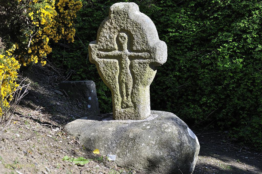 CrossCross, Wayside cross · 1117 yd
 Mullaghmeen White WalkWalking route · 1197 yd
 Church (in Ruins)Church · 1270 yd
 Mullaghmeen Red WalkWalking route · 1590 yd
 Castle (in Ruins)Castle, unclassified · 1627 yd
 Site of CastleCastle, unclassified · 1681 yd
 Mullaghmeen ForestPicnic place · 1.3 mi
 Rock of CurryCliff · 2.0 mi
 Fox CovertForest · 2.5 mi