What is recorded here
Fairy forts hide inside ordinary ground, waiting for people busy enough to stop seeing them. In Rathpatrick, a field in County Kilkenny, a ringfort was levelled in 1986 yet still showed itself the next summer: a broad stoney band, an eastern gap, and a dark burnt circle where something had burned. The land had not forgotten the shape; it had only removed the wall.
In a well-drained level field of reclaimed land. The monument was levelled in 1986 and when inspected in June of the following year it was still clearly visible as a roughly circular area (max. diam. c. 44m) enclosed by a broad stoney band of soil (Wth 3m) representing the ploughed out bank. A gap (Wth 4m) in this band of stoney soil at the E possibly represents the original entrance. A circular burnt spread (diam. c. 5m) of very dark soil with some blackened stones and flecks of charcoal was visible 10m from the S edge of the interior.
Compiled by: Jean Farrelly
Date of upload: 25 September 2017
The monument record does not grant public access. Check the route and ask the landowner before entering private land.
- What survives
- Recorded monument
Places near here
 Ladys WellHoly well · 774 yd
 Crucifixion plaque in BayswellCrucifixion plaque · 784 yd
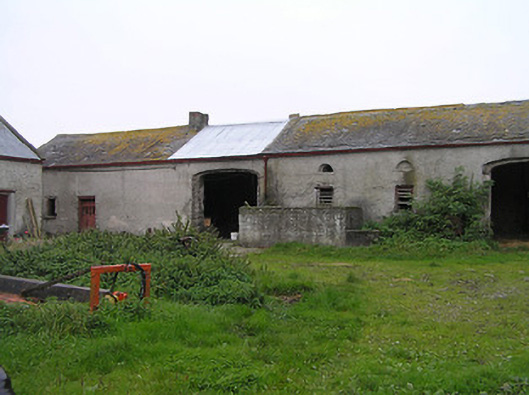 Bayswell Housefarmyard complex · 843 yd
 Erke Churchchurch/chapel · 1370 yd
 IndicatedCastle, ringwork · 1397 yd
 Castle PierceHouse, fortified house · 1705 yd
 Cnoc SeanrathaMemorial · 1.4 mi
 DelaneyMemorial · 3.4 mi
 Street fieldArchaeological place · 4.1 mi
 Tullow HillMountain / peak · 4.1 mi
 Clonmeen WoodWood · 4.4 mi
 Clomantagh HillMountain / peak · 5.4 mi