What is recorded here
Fairy fort / earthen ringfort in Rathordan is a fairy fort or earthen ringfort in Rathordan, County Tipperary, Ireland. The oval site measures 25 metres east to west and 21 metres north to south within improved, level pasture. A poorly preserved scarp runs north-northwest to south-southeast, while levelled remains continue from southeast to southwest. A fenced scarp spans southwest to north-northwest, and a possible deeply poached fosse lies along the north-northwest to south-southeast edge.
In improved, level pasture. Oval area (dims. 25m E-W; 21m N-S) defined by poorly preserved scarp (Wth 2.3m; H 0.7m) NNW-SE and remains of levelled scarp (Wth 1.5m; H 0.15m) SE-SW. Scarp (Wth 2.2m H 0.45m) fenced off and not easily accessible SW-NNW and is cut by pond SW-W as per latest edition OS 6-inch map. No entrance identified. Possible remains of fosse (basal Wth 2.85m; overall Wth 7.95m; D 0.2m) NNW-SE are deeply poached by cattle. Interior slopes down gently to S; Furze and briars encroaching upon perimeter around W-sector.
Compiled by: Jean Farrelly
Date of upload: 26 August 2011
The monument record does not grant public access. Check the route and ask the landowner before entering private land.
- What survives
- Recorded monument
Places near here
 Enclosure in KilscobinEnclosure · 1131 yd
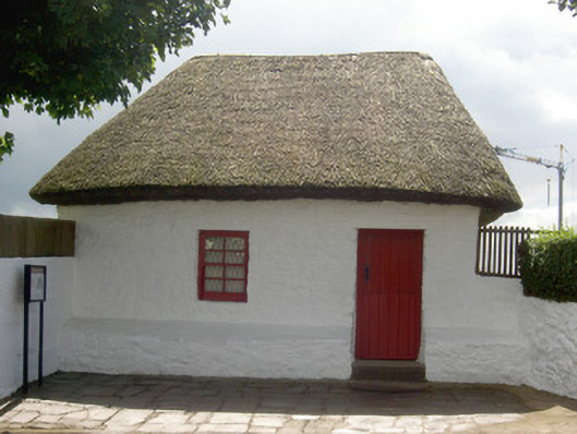 Bothán Scóirhouse · 1741 yd
 Enclosure in Ballyfowloo,monameaghEnclosure · 1.1 mi
 CastleCastle, ringwork and bailey · 1.1 mi
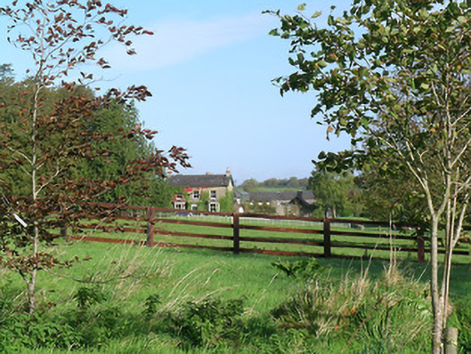 Mayfield Househouse · 1.2 mi
 Cashel Folk MusuemMuseum · 1.4 mi
 Black mulberryBlack mulberry · 1.5 mi
 Bawn in Ballyduagh (railstown Par.)Bawn · 1.5 mi
 The Rock Of CashelVisitor information · 1.6 mi
 Cormac's ChapelHeritage attraction · 1.6 mi
 Ballyknock HillMountain / peak · 1.9 mi
 Caucasian zelkovaCaucasian zelkova · 8.6 mi