What is recorded here
Rathnaseer held a fifty-metre earthen ring on a gentle slope before ploughs erased it from the living landscape. The soil swallowed the boundary, denying the fort even a shadow or a name in the grass. What remains is a vacancy, a hollow where human hands once shaped the earth into a circle.
In undulating pasture, on gentle SE-facing slope below brow of low rise. Monument, depicted as roughly circular enclosure (diam. c. 50m) on 1923 OS 6-inch map, has been levelled. No trace of monument evident when inspected.
Compiled by: Denis Power
Date of upload: 26 August 2011
The monument record does not grant public access. Check the route and ask the landowner before entering private land.
- What survives
- Recorded monument
Places near here
 Enclosure in Ballywilliam SouthEnclosure · 588 yd
 Burial Gd.Graveyard · 1052 yd
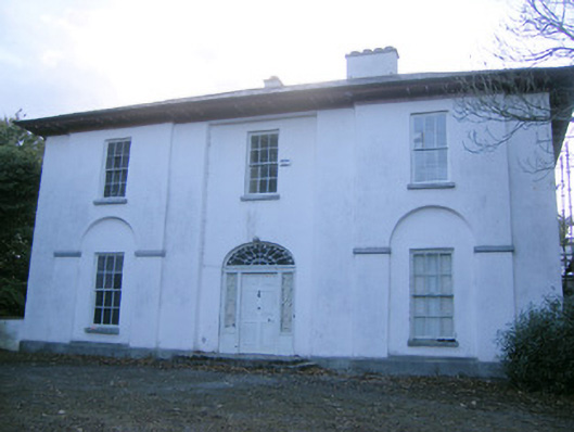 The Rectoryrectory/glebe/vicarage/curate's house · 1.1 mi
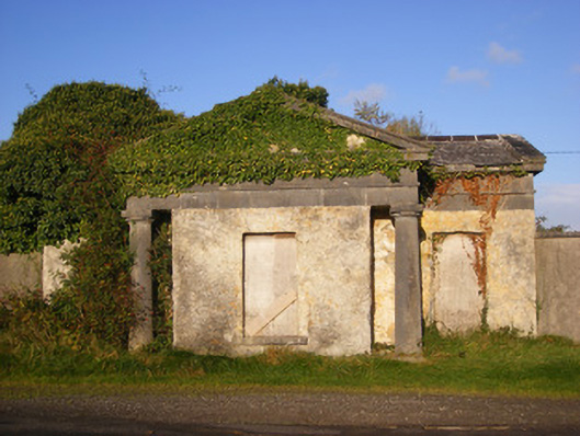 Ballywilliamgate lodge · 1.1 mi
 Glebe CastleCastle · 1.6 mi
 Bawn in Amogan MoreBawn · 1.7 mi
 European ashEuropean ash · 2.0 mi
 TobernablahySpring · 2.7 mi
 LaghtpatrickSpring · 2.9 mi
 Flat cemetery in CroaghFlat cemetery · 3.1 mi
 Flat cemetery in Kiltenan SouthFlat cemetery · 3.9 mi
 KnockfeerinaMountain / peak · 5.1 mi