What is recorded here
Fairy fort / earthen ringfort in Rathmore (shrule By.) is a 28.3-metre circular rise in County Longford, Ireland, where a low earth-and-stone bank still marks part of the edge before field boundaries swallowed the rest. The missing entrance and absent fosse suggest the ring served people who came and went without ceremony, perhaps herding, hiding, or simply living beside the low pasture. Its shallow height does not diminish it; it shows how quickly ordinary use can erase the shape of a home.
On a rise in low-lying pasture. A raised circular area (diam. 28.3m) enclosed from S-N-NE by a low bank of earth and stone (Wth 2.4m; H 0.2m) that has been modified and incorporated into a field boundary. Elsewhere the bank has been levelled. There is no trace of a fosse and the original entrance is not recognisable.
Compiled by: Patrick F. O'Donovan
Date of upload: 26 August 2011
This remains an important historical record, but the official description says the monument is no longer visible or has been destroyed. The monument record does not grant public access. Check the route and ask the landowner before entering private land.
- What survives
- No visible remains or recorded as destroyed
Places near here
 Partially hachuredCliff-edge fort · 345 yd
 Tang BridgeBridge · 445 yd
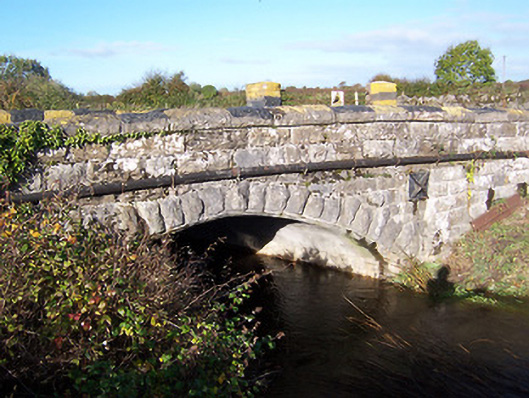 bridgebridge · 485 yd
 Ecclesiastical site in Rathmore (shrule By.)Ecclesiastical site · 546 yd
 European BeechEuropean Beech · 950 yd
 Noughaval CemeteryArchaeological place · 1.1 mi
 CastleCastle, motte · 1.7 mi
 Ballymulvey Ho.Castle, unclassified · 2.4 mi
 Target WoodWood · 3.2 mi
 Newcastle WoodsForest · 3.3 mi
 Guest ServicesVisitor information · 3.5 mi
 Craft WorkshopHeritage attraction · 3.6 mi