What is recorded here
Mortons and others built the Fort and lived there. The forklift came, broke the fort and left scars on the land. We watched helplessly because nobody owned the truth or the place.
Located on a knoll in an undulating landscape. This is a circular but overgrown area (diam. 32.5m NE-SW) defined by an overgrown earth and stone bank (Wth of base 4.7-6m; int. H 0.5-0.7m; ext. H 1.6-1.9m) separated by a fosse (Wth of top 6-7m; ext. D 0.4-0.7m) from an outer bank (Wth of base 4-4.5m; ext. H 0.4-0.7m) S-W-ENE that is incorporated into a field bank ENE-S. There are gaps in the inner bank at ENE (Wth of base 1.8m) and SSE (Wth of base 2.5m), either of which might be the original.
The above description is derived from the published 'Archaeological Inventory of County Meath' (Dublin: Stationery Office, 1987). In certain instances the entries have been revised and updated in the light of recent research.
Compiled by: Michael Moore
Date of revision: 21 November 2018
The monument record does not grant public access. Check the route and ask the landowner before entering private land.
- What survives
- Recorded monument
Places near here
 IndicatedCastle, motte and bailey · 934 yd
 EnclosureEnclosure, large enclosure · 1027 yd
 CastleCastle, unclassified · 1141 yd
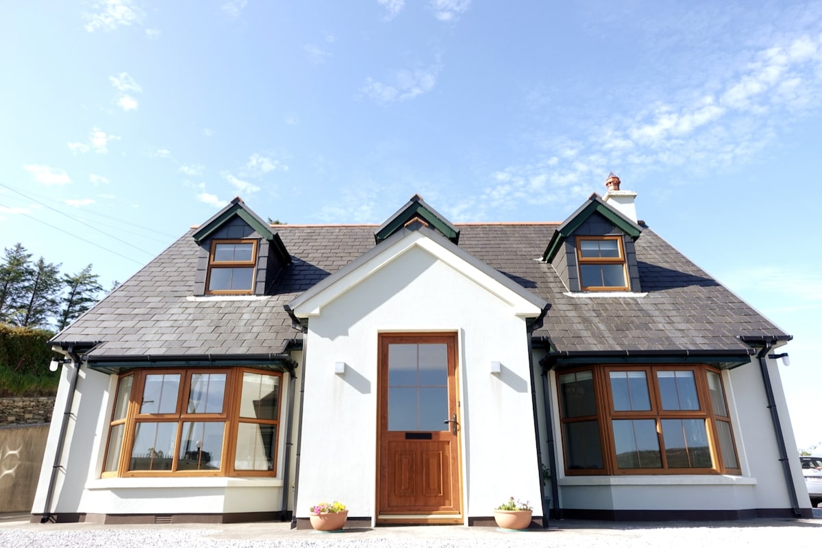 LissardFairy fort / earthen ringfort · 1246 yd
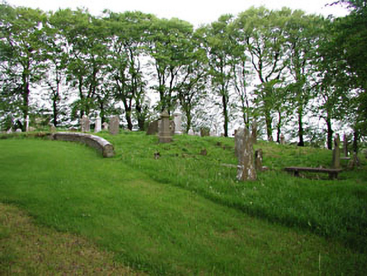 graveyard/cemeterygraveyard/cemetery · 1.3 mi
 European BeechEuropean Beech · 1.3 mi
 mill (water)mill (water) · 1.3 mi
 Mullaghmeen ForestPicnic place · 1.9 mi
 Mount FortuneMountain / peak · 2.8 mi
 Memorial CrossMemorial · 3.1 mi
 Zip WireHeritage attraction · 3.4 mi
 European YewEuropean Yew · 3.5 mi