What is recorded here
Rathmea holds a truncated ringfort where human hands built earth into a boundary, but time or plundering wheels removed most of the shape. The surviving southern bank and outer ditch still mark the limit of a place meant to be entered, defended, and lived inside. What is missing has not stopped the field from remembering the difference between within and without.
Situated on a fairly low N-S ridge in a gently undulating landscape with higher point all around. It is represented as a circular embanked enclosure (diam. c. 45-50m) on the 1836 edition of the OS 6-inch map and as a D-shaped feature on the 1908 edition. This is a raised trapezoidal and grass-covered area (dims 18m E-W at S; 31m E-W at N; 30m N-S) defined by scarps with some bushes on the W, N (Wth 6m; H 1.9m) and E sides and by a wide, low and grass-covered bank (Wth of base 4.5m; int. H 0.7m; ext. H 1.8m) separated by an outer fosse (Wth of top 6.5m; Wth of base 2.5m; ext. D 1.5m) from an outer grass-covered bank (Wth of base 5m; est. H 1m) at S. This is a rath that has been truncated and the original defences only survive at S. An original entrance is not identified. Rath (ME014-007----) is c. 90m to the SE. Archaeological testing (06E0365) by C. Duffy c. 30m to the NE at the closest point produced no related material but the monument is provided with a buffer zone (Wth 2m) (excavation.ie 2006:1627; 2007:1379).
The above description is derived from the published 'Archaeological Inventory of County Meath' (Dublin: Stationery Office, 1987). In certain instances the entries have been revised and updated in the light of recent research.
Compiled by: Michael Moore
Date of revision: 21 November 2018
Amended: 18 February 2021
The monument record does not grant public access. Check the route and ask the landowner before entering private land.
- What survives
- Recorded monument
Places near here
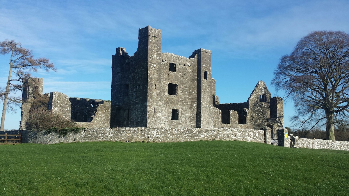 Enclosure in Baltrasna (fore By.)Enclosure · 944 yd
 EnclosureEnclosure, large enclosure · 1308 yd
 IndicatedCastle, motte and bailey · 1728 yd
 CastleCastle, unclassified · 1.0 mi
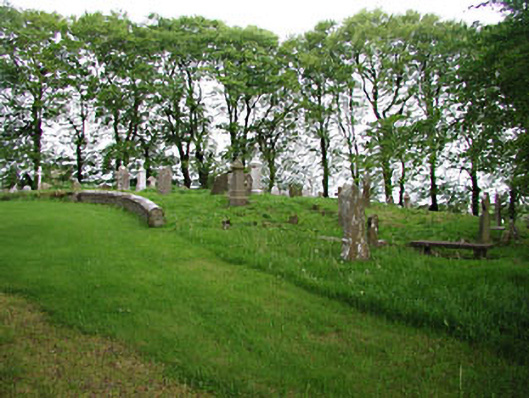 graveyard/cemeterygraveyard/cemetery · 1.1 mi
 European BeechEuropean Beech · 1.1 mi
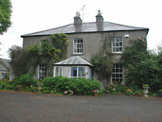 Killeagh Houserectory/glebe/vicarage/curate's house · 1.2 mi
 Mullaghmeen ForestPicnic place · 2.3 mi
 Mount FortuneMountain / peak · 2.4 mi
 Memorial CrossMemorial · 2.6 mi
 Zip WireHeritage attraction · 3.1 mi
 European YewEuropean Yew · 3.1 mi