What is recorded here
In pasture, located on a low rise. Slighlty raised subcircular area (diam. 17.4m NE–SW) defined by degraded remnants of an earthen bank (Wth 2.3m; int. H 0.15m; ext. H 0.4m). The S half of the interior appears to be slightly higher. The entrance may have been at SSE where there is a gap (Wth 2m), now partly blocked with boulders. Field clearance stones and boulders are spread over the S and SE of the interior.
Compiled by: Jane O’Shaughnessy
Date of upload: 15 April 2013
The monument record does not grant public access. Check the route and ask the landowner before entering private land.
- What survives
- Recorded monument
Places near here
 IndicatedFairy fort / earthen ringfort · 232 yd
 Catholic Church of the Star of the Seachurch/chapel · 1027 yd
 Enclosure in RathleeEnclosure · 1445 yd
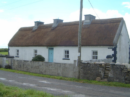 Streamlet Villahouse · 1.1 mi
 CastleCastle, unclassified · 1.6 mi
 Rathlee HeadHeadland · 1.7 mi
 Castle FirbisCastle, tower house · 2.8 mi
 Bunowna PointHeadland · 3.0 mi
 Wild Atlantic Way: Easky PierVisitor information · 3.1 mi
 Jim Smith MemorialMemorial · 3.6 mi
 Wild Atlantic Way: Inishcrone PierVisitor information · 4.5 mi
 Grave of the Black PigArchaeological place · 5.5 mi