What is recorded here
Fairy fort / earthen ringfort in Rathgeean is a fairy fort or earthen ringfort in Rathgeean, County Sligo, Ireland. It occupies poor pasture at the top of a south-facing slope. The circular area measures about forty-five metres across and dense overgrowth covers most of the site. A fosse remains visible along the north and west arcs.
In poor pasture, at the top of a S-facing slope. A circular area (diam. c. 45m), densely covered with overgrowth, with a fosse visible along the N and W arcs. Access to the interior was not gained due to impenetrable overgrowth. Recorded in 1836 as 'Rageean Fort on which stands a trigonometrical station' (OSNB vol. 2, 29).
The above description is derived from the published 'Archaeological Inventory of County Sligo' compiled by Ursula Egan, Elizabeth Byrne, Mary Sleeman with Sheila Ronan and Connie Murphy (Dublin Stationery Office, 2005).
Date of upload: 18 January 2008
The monument record does not grant public access. Check the route and ask the landowner before entering private land.
- What survives
- Recorded monument
Places near here
 Corn kilnSweathouse · 446 yd
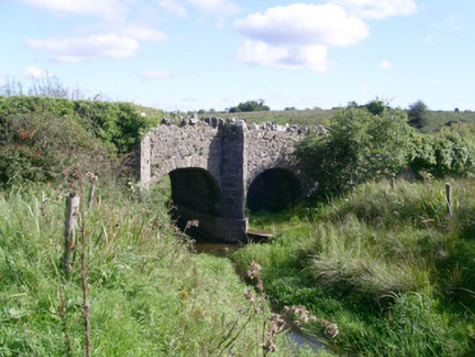 bridgebridge · 466 yd
 Bryan Mulveys fortFairy fort / earthen ringfort · 1014 yd
 CastleCastle, unclassified · 1263 yd
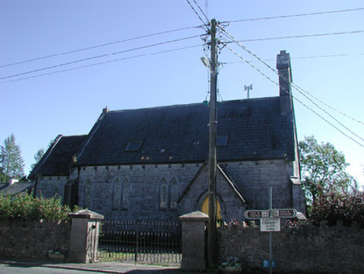 Tiraghrillchurch/chapel · 1531 yd
 Drumcondra Castle (in Ruins)Castle, tower house · 1.8 mi
 Giants GraveArchaeological place · 2.7 mi
 SlishwoodWood · 3.0 mi
 Cullentra ForestForest · 3.5 mi
 Trawane BayBay · 3.6 mi
 InnisfreeIslet · 3.7 mi
 Slishwood Island WestIslet · 3.7 mi