What is recorded here
Fairy fort / earthen ringfort in Rathgeean is a fairy fort or earthen ringfort in Rathgeean, County Sligo, Ireland. It occupies marshy ground on a south-facing slope beside an east-west field boundary. The D-shaped earthwork has an internal diameter of about 23 metres north-south and 25.4 metres east-west. An earthen bank rises 0.6 metre inside and 1.4 metres outside along the eastern and southern arcs, while a scarp forms the western edge.
In marshy ground, on a S-facing slope. A raised D-shaped area (int. diam. c. 23m N-S; 25.4m E-W), on the S side of an E-W field boundary, defined by an earthen bank (int. H 0.6m; ext. H 1.4m) along the E and S arcs and by a scarp along the W arc. A wet area (Wth 1.2m) along the E arc may indicate an external fosse. The E half of the rath is covered with overgrowth. Indicated as D-shaped on the 1913 OS 6-inch map.
The above description is derived from the published 'Archaeological Inventory of County Sligo' compiled by Ursula Egan, Elizabeth Byrne, Mary Sleeman with Sheila Ronan and Connie Murphy (Dublin Stationery Office, 2005).
Date of upload: 18 January 2008
The monument record does not grant public access. Check the route and ask the landowner before entering private land.
- What survives
- Recorded monument
Places near here
 Corn kilnSweathouse · 533 yd
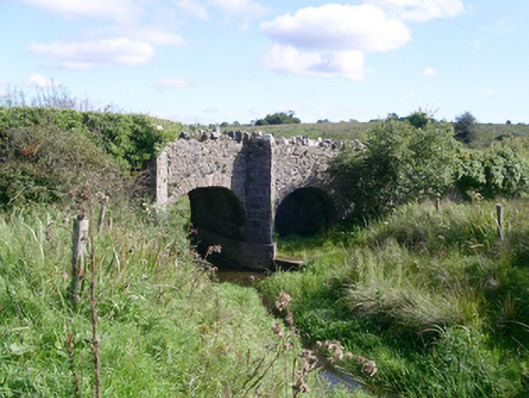 bridgebridge · 938 yd
 Fairy fort / stone ringfort in CleighranFairy fort / stone ringfort · 940 yd
 CastleCastle, unclassified · 1537 yd
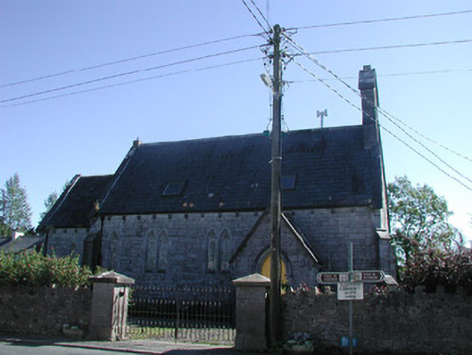 Tiraghrillchurch/chapel · 1.0 mi
 MoteCastle, motte · 1.7 mi
 Giants GraveArchaeological place · 2.9 mi
 SlishwoodWood · 2.9 mi
 Cullentra ForestForest · 3.3 mi
 Trawane BayBay · 3.5 mi
 InnisfreeIslet · 3.5 mi
 Slishwood Island WestIslet · 3.7 mi