What is recorded here
Clear facts are missing. Anymap keeps its own records and may preserve more of the story.
In low-lying pasture, on gentle NE-facing slope. Circular area (23.2m N-S; 23.8m E-W) enclosed by two concentric earthen banks with intervening fosse (Wth 3.4m; D 0.35m). Inner bank (int. H 0.5m; ext. H 0.25m) becomes scarp-like NW->NE (H 1.4m; Wth 5.2m), but is barely evident NE->ESE. Outer bank (ext. H 0.15m) can be traced NE->NW. A low ridge runs out from external bank at ESE and extends NE for c. 62m before fading out. Fosse can only be traced where outer bank survives NE->NW. Interior, under pasture, slopes down to E. There is an ovoid depression in SE quadrant (D 0.65m; 4.7m N-S; 14m E-W).
Compiled by: Denis Power
Date of upload: 26 August 2011
The monument record does not grant public access. Check the route and ask the landowner before entering private land.
- What survives
- Recorded monument
Places near here
 Rathfarra - HachuredFairy fort / earthen ringfort · 225 yd
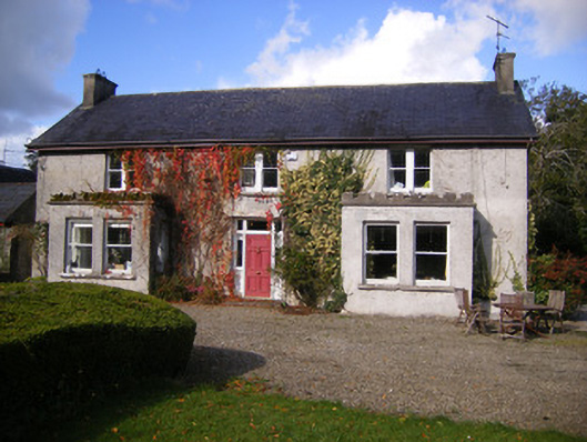 Kilcosgrave Househouse · 608 yd
 Site of CastleCastle, unclassified · 628 yd
 Kilmoylan Church (in ruins)Church · 1212 yd
 CastleCastle, unclassified · 1284 yd
 IndicatedFairy fort / earthen ringfort · 1343 yd
 St. Luke's WellSpring · 3.3 mi
 St. Kieran's WellSpring · 4.0 mi
 Foynes Flying Boat & Maritime MuseumMuseum · 4.2 mi
 Foynes Island ViewpointViewpoint · 4.4 mi
 Gammarel PointHeadland · 4.5 mi
 Monterey CypressMonterey Cypress · 4.9 mi