
What is recorded here
Westropp (1904-5, 398) recorded the following details about Kilmoylan Church; 'Kilmolan, 1302; Keilmualain, 1410; Kilmolan, 1418; Kilmoylan, 1615.
Fabric - A late, plain church on the extreme east edge of its parish. It is 35 feet [10.6m] by 18 feet [5.5m]; the west gable fell 1839 ; the windows are defaced, and the door heavily ivied. It is of hammered stones with a flat lintel resting on corbels (O.S.L., 8, p. 28)'.
Church described in 1840 as following; 'The walls are perfect with the exception of the west gable, which fell about two years ago. It is thirty five feet long by eighteen feet in breadth. On the east gable there was a window which is now disfigured. On the south side wall two feet [0.6m] from the west gable there is another window, now also disfigured. The doorway is on this wall seven and a half feet [2.3m] from the west gable; it is disfigured on the inside. On the outside it is five feet eight inches [1.7m] high by two feet nine inches [0.83m]; the centre of the stone (a) has fallen away; the lintel is but three feet [0.9m] long and eight inches [0.2m] in depth, and enters the thickness of the wall one feet [0.3m]. It is formed of hammered stones. The walls of this church are about ten feet [3m] high, two and a half feet [0.8m] in thickness and built of large stones, very irregularly laid, and cemented with lime and sand mortar; they have the appearance of antiquity. There is a large graveyard attached much in use at present' (OSL, 32).
See attached sketch of doorway in south wall of church taken from OS letters.
Compiled by: Caimin O'Brien
Date of upload: 20 November 2018
Kilmoylan Church, a late, plain church, was likely built in the 14th or 15th century and dedicated to Saint Mólan. Its remains mark a historically significant ecclesiastical site on the edge of its former parish.
The monument record does not grant public access. Check the route and ask the landowner before entering private land.
- What survives
- Recorded monument
Places near here
 Site of CastleCastle, unclassified · 1116 yd
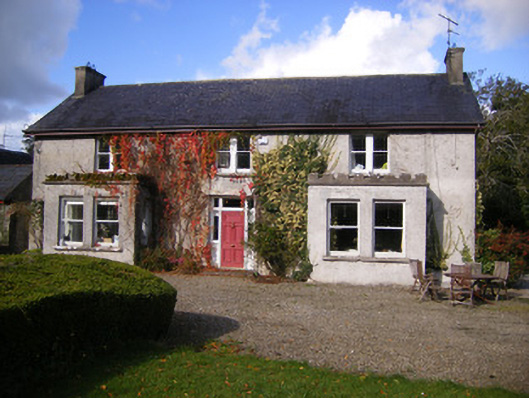 Kilcosgrave Househouse · 1120 yd
 Rathfarra - HachuredFairy fort / earthen ringfort · 1174 yd
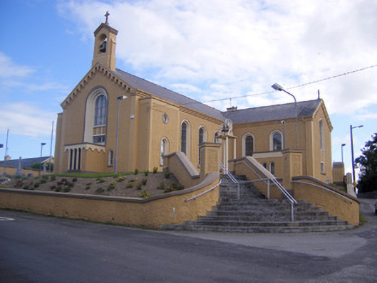 Saint Senan's Catholic Churchchurch/chapel · 1242 yd
 Burial ground in OldabbeyBurial ground · 1419 yd
 CastleCastle, unclassified · 1477 yd
 Foynes Flying Boat & Maritime MuseumMuseum · 3.5 mi
 Foynes Island ViewpointViewpoint · 3.7 mi
 Gammarel PointHeadland · 3.9 mi
 St. Luke's WellSpring · 4.0 mi
 Foynes IslandIsland · 4.2 mi
 Monterey CypressMonterey Cypress · 4.3 mi
Other information
Photo: Credit not shown in the picture search · Rights wording not checked; contact us if this picture should be removed