What is recorded here
Ratheeragh held a massive earthen ringfort with an eight to ten metre bank and broad outside ditch before humans quarried it for gravel. The fairies probably watched the machines take their wall, then vanished into the scrub that now chokes the broken south edge. What remains is a wounded bowl of soil where a whole life once turned, reduced to a hint of a ridge and a story about greed.
The following description is derived from the published 'Archaeological Inventory of County Carlow' (Dublin: Stationery Office, 1993). In certain instances the entries have been revised and updated in the light of recent research.
Date of upload/revision: 17 July 2007
Historic Monument No. HM00335, this monument was entered in the Register of Historic Monuments on the 23 August 1977. Remains indicate large ringfort, with high bank (H from outside 8-10m) and broad external fosse. (Wth 5m). Interior appears to have been almost entirely dug out for gravel. Traces of possible external bank at NE. Quarried from S and overgrown with scrub.
A fairy fort, or earthen ringfort in Ratheeragh, is a circular earthwork enclosure typical of early-medieval Ireland, likely dating to between the 5th and 10th centuries AD. Local folklore associates such sites with the supernatural, often believed to be dwellings of the fairies or remnants of ancient druidic activity.
The monument record does not grant public access. Check the route and ask the landowner before entering private land.
- What survives
- Recorded monument
Places near here
 Enclosure in RatheeraghEnclosure · 303 yd
 RatheeraghFairy fort / earthen ringfort · 752 yd
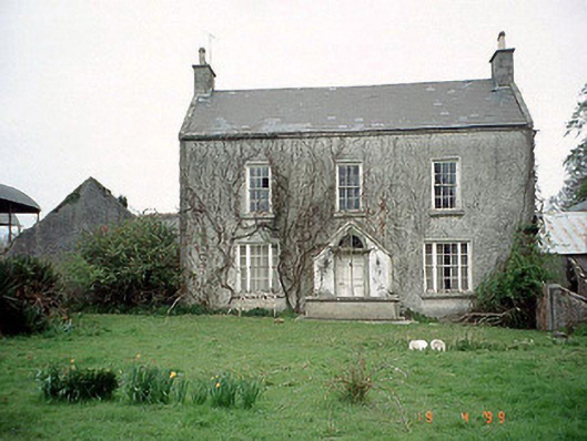 Aghade Corn Millmiller's house · 1244 yd
 Aghade Bridgebridge · 1283 yd
 Castlegrace MoatCastle, motte · 1.3 mi
 CastleCastle, motte and bailey · 1.7 mi
 Scots PineScots Pine · 2.3 mi
 Altamont House and GardensHeritage attraction · 2.4 mi
 Altamont Gardens MapVisitor information · 2.4 mi
 Rath WoodForest · 3.0 mi
 Kilmurry Church (in ruins), GraveyardChurch · 4.0 mi
 Church (in ruins), GraveyardChurch · 5.0 mi