What is recorded here
Rathduff is a circular earthen ringfort in County Louth, Ireland, with a 28.5m internal diameter, a 1m wide bank standing 0.7m internally and 3m externally, slight stone facing at the southeast, and a 1.9m western entrance gap. It may have housed a hut beside the southern entrance, while local tradition calls it a fairy fort, as if the boundary between human dwelling and myth still wavered in its soil.
The following description is derived from both the published 'Archaeological Inventory of County Louth' (Dublin: Stationery Office, 1986) and the 'Archaeological Survey of County Louth' (Dublin: Stationery Office, 1991). In certain instances the entries have been revised and updated in the light of recent research.
Date of upload/revision: 17 July 2007
Circular area (int. diam. 28.5m) enclosed by earthen bank (Wth 1m, H 0.7m internally, 3m externally) with slight traces of stone facing at SE. Ancient entrance gap (Wth 1.9m) at W. No visible trace of fosse. Possible hut site abutting interior of bank at S of entrance.
This remains an important historical record, but the official description says the monument is no longer visible or has been destroyed. The monument record does not grant public access. Check the route and ask the landowner before entering private land.
- What survives
- No visible remains or recorded as destroyed
Places near here
 Enclosure in FalmoreEnclosure · 847 yd
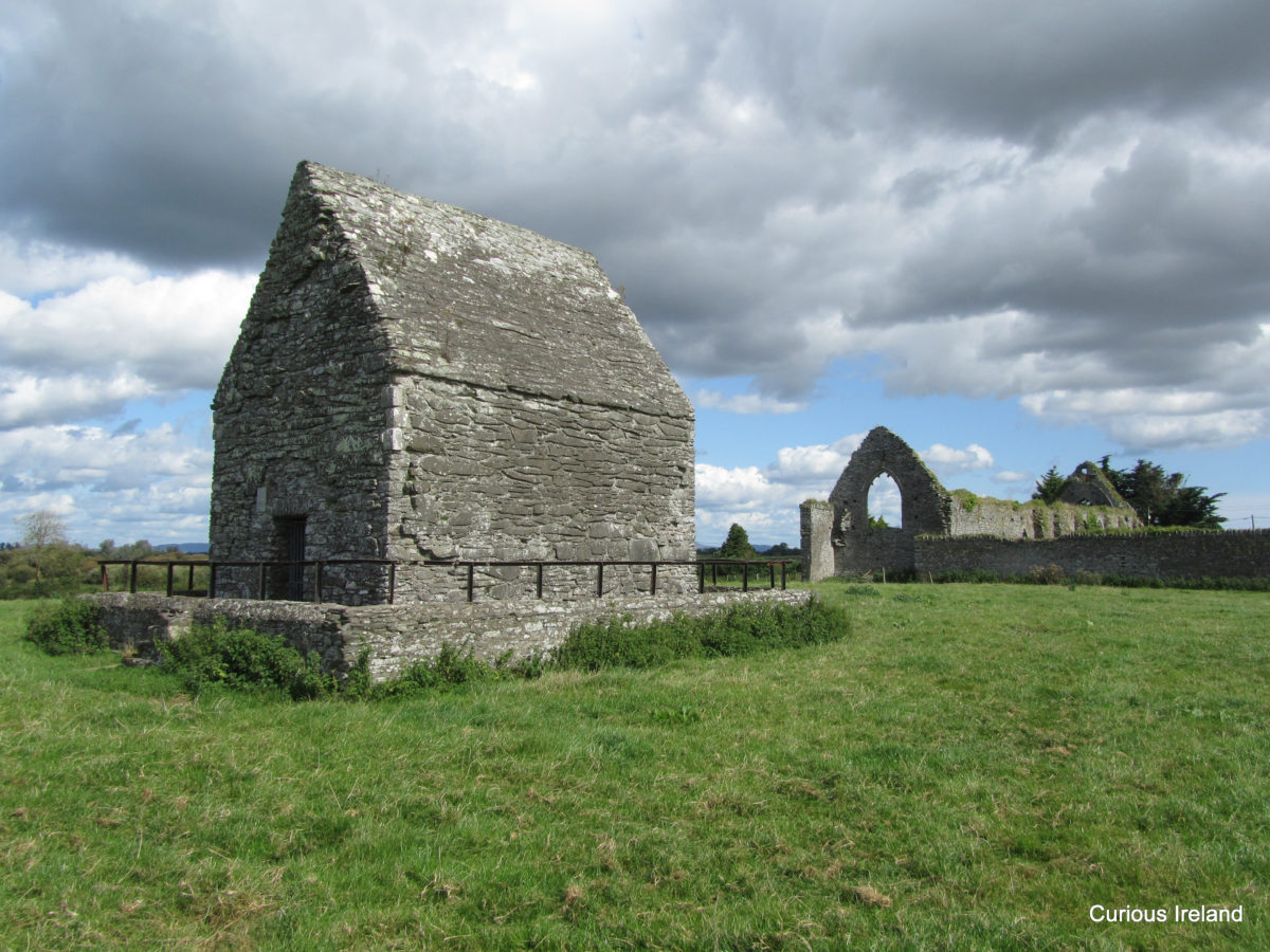 LisaclogEnclosure · 850 yd
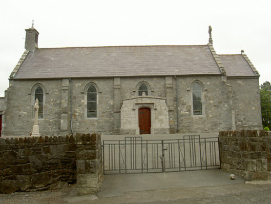 Catholic Church of the Most Holy Rosarychurch/chapel · 964 yd
 Church in KaneChurch · 1069 yd
 TumulusCastle, motte and bailey · 1.1 mi
 Balregan CastleCastle, tower house · 1.1 mi
 Sky HillMountain / peak · 1.4 mi
 Ballsmill Amenity LandPicnic place · 2.3 mi
 MonascreebeMountain / peak · 2.7 mi
 Forkhill Greenspace PathwayWalking route · 2.9 mi
 Ring of Gullion Way - ForkhillVisitor information · 3.1 mi
 Battle of FaughartMajor battlefield · 3.1 mi