What is recorded here
Rathduff held a forty-metre earthen ring on a west-facing Cork slope, visible in aerial photographs long after local owners levelled much of it around 1973. The remaining bank and faint ground swell suggest people shaped that land for defense, residence or ritual before modern fields erased its edges. Fairy fort is the local name, but human hands built the ring and human choices diminished it.
In pasture, on W-facing slope. Depicted as hachured circular enclosure (diam. c. 40m) on 1842, 1904 and 1938 OS 6-inch maps. According to landowner, levelled c. 1973. Roughly circular enclosure (39m N-S; 34m E-W) defined by low rise (max. H 0.6m) to N, S and W; earthen bank (H 1.6m) remains infield fence system to E. Clearly visible as crop mark in aerial photograph (AP Dr. D.D.C. Pochin Mould).
The above description is derived from the published 'Archaeological Inventory of County Cork. Volume 3: Mid Cork' (Dublin: Stationery Office, 1997). In certain instances the entries have been revised and updated in the light of recent research.
Date of upload/revision: 14 January 2009
A fairy fort or earthen ringfort in Rathduff, likely dating to the early medieval period, was depicted on several 19th- and early 20th-century Ordnance Survey maps before being levelled in the 1970s. Local tradition associates such sites with fairy folklore, often regarded as the dwellings of supernatural beings.
The monument record does not grant public access. Check the route and ask the landowner before entering private land.
- What survives
- Recorded monument
Places near here
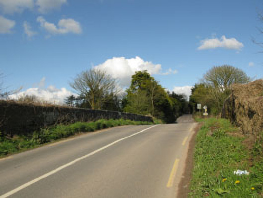 bridgebridge · 150 yd
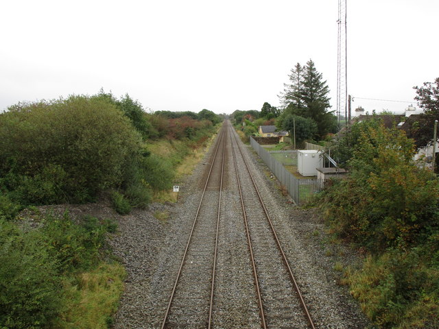 Rathduff Railway Stationrailway station · 281 yd
 EnclosureEnclosure, large enclosure · 1474 yd
 Grave YdGraveyard · 1602 yd
 Castle (Site of)Castle, Anglo-Norman masonry castle · 1.5 mi
 Graveyard in KilmonaGraveyard · 1.8 mi
 Pairc Ath Na hEornaMemorial · 2.0 mi
 Rock HillMountain / peak · 2.1 mi
 Lyradane MountainMountain / peak · 2.5 mi
 St John's WellSpring · 3.1 mi
 Garrycloyne Castle (in Ruins)Castle, tower house · 3.1 mi
 BatsVisitor information · 4.8 mi