What is recorded here
Forty feet across and half-swallowed by fields, Rathcorick still wears its ancient shape like a collar. A laneway cuts the ring in two, and the eastern half has flattened into a low ridge where cattle once walked. People may have lived inside the circle before the road took it apart, or the fairies may have simply borrowed the shape and left it empty. Either way, the land remembered the boundary long after the walls forgot their purpose.
Marked 'Fort' on OS 1836 and 1876 eds. and known in the locality as same (local information). Raised circular area (int. diam. 24m). The site is divided into two unequal segments by a laneway running ENE-WSW. The larger SE segment survives as a very low earthen mound. At NW the perimeter has been incorporated into the field boundary.
The above description is derived from the published 'Archaeological Inventory of County Cavan' (Dublin: Stationery Office, 1995). In certain instances the entries have been revised and updated in the light of recent research.
Date of upload/revision: 22 December 2008
The monument record does not grant public access. Check the route and ask the landowner before entering private land.
- What survives
- Recorded monument
Places near here
 RathcorickArchaeological place · 377 yd
 Bawn in MoynehallBawn · 1343 yd
 Carricknagore RockNamed rock · 1554 yd
 IndicatedFairy fort / earthen ringfort · 1725 yd
 Aghalackan WestMountain / peak · 1.3 mi
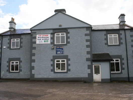 Cavan Schoolschool · 1.6 mi
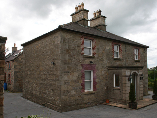 Saint Clare's Cottagehouse · 1.6 mi
 Aghalackan EastMountain / peak · 1.8 mi
 CastleCastle, unclassified · 2.0 mi
 Corgarran ForestForest · 2.0 mi
 Shannow ForestForest · 2.1 mi
 Owen Roe O'Neill graveMemorial · 2.2 mi