What is recorded here
Two massive earthen banks and a deep central ditch enclose a forty-five-metre circular space in Rathcorick, marking it as one of County Cavan's most substantial ringforts. A causeway still bridges the eastern entrance, guiding foot traffic across the ancient defences. When tree planting broke the soil near the inner bank, a wooden post emerged, hinting that pale timber walls once rose behind the earth to trap shadow and sight inside the fort.
Raised circular area (int. diam. 45m) enclosed by two very substantial earthen banks with a deep intermediate fosse. Original entrance at ESE represented by corresponding breaks in the banks with accompanying causeway. Eight years ago during the course of tree planting, the landowner discovered a wooden post, roughly 1m high, inside the inner bank, which he speculated was probably part of a palisade. (CUCAP, ALJ 83/85).
The above description is derived from the published 'Archaeological Inventory of County Cavan' (Dublin: Stationery Office, 1995). In certain instances the entries have been revised and updated in the light of recent research.
Date of upload/revision: 22 December 2008
The monument record does not grant public access. Check the route and ask the landowner before entering private land.
- What survives
- Recorded monument
Places near here
 RathcorickArchaeological place · 7 yd
 Bawn in MoynehallBawn · 1184 yd
 IndicatedFairy fort / earthen ringfort · 1406 yd
 Carricknagore RockNamed rock · 1.1 mi
 Aghalackan WestMountain / peak · 1.2 mi
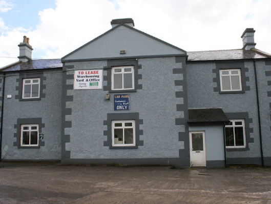 Cavan Schoolschool · 1.4 mi
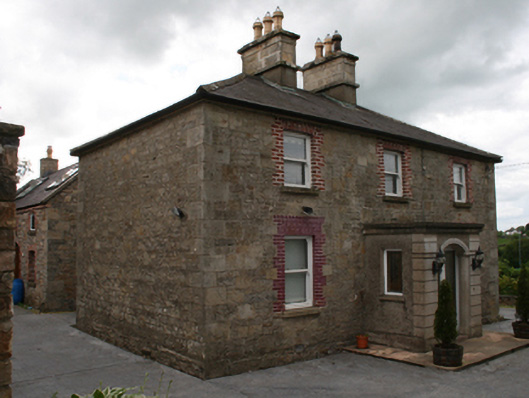 Saint Clare's Cottagehouse · 1.5 mi
 Aghalackan EastMountain / peak · 1.7 mi
 CastleCastle, unclassified · 1.8 mi
 Owen Roe O'Neill graveMemorial · 2.0 mi
 GrottoWood · 2.0 mi
 Corgarran ForestForest · 2.1 mi