What is recorded here
Rathcoole holds a hidden circular fort at the eastern tip of a ridge, its ditch and bank buried beneath soil and grass. The shape appears only when crops grow unevenly above the old earthworks, revealing a forgotten boundary that human feet may have crossed for generations. local people called it a fairy fort, placing the site outside ordinary ownership and imagination.
Located at the E tip of a W-E spur. The cropmark of a circular area (int. diam. c. 39m E-W; c. 36m N-S) defined by a continuous fosse (Wth c. 3-5m) is only visible on Google Earth (21/07/2021). It was first reported by Jean Charles Caillére.
See the attached enhanced view from Google Earth (21/07/2021)
Compiled by: Michael Moore
Date of upload: 22 October 2021
The monument record does not grant public access. Check the route and ask the landowner before entering private land.
- What survives
- Recorded monument
Places near here
 Not idicatatedCastle, unclassified · 437 yd
 Mullacurry Race CourseRuins · 480 yd
 Man-made underground passage in ClivenMan-made underground passage · 735 yd
 Trinity WellHoly well · 1221 yd
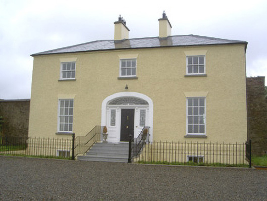 Rathcoole Househouse · 1268 yd
 Rathescar Lakeside WalkWood · 1.4 mi
 Rocjardstown CastleCastle, tower house · 1.9 mi
 Monterey CypressMonterey Cypress · 1.9 mi
 Graveyard in Richardstown (ardee By., Richardstown Par.)Graveyard · 1.9 mi
 Graveyard in StickillinGraveyard · 2.2 mi
 Mount OrielMountain / peak · 3.2 mi
 Black HillMountain / peak · 3.2 mi