What is recorded here
Fairy fort / earthen ringfort in Rathbaun South is a fairy fort or earthen ringfort in Rathbaun South, County Sligo, Ireland. It occupies a southwest-facing slope near the top of a drumlin and contains a raised circular area 25.2 metres north-south and 23.6 metres east-west. Two earthen banks surround a wide ditch, while a stone-faced entrance and causeway cut through the southern side. The interior slopes downward toward the southwest.
On a SW-facing slope, close to the top of a drumlin. A raised circular area (int. diam. 25.2m N-S; 23.6m E-W) defined by an inner earthen bank (Wth 2.6m; int. H 0.8m; ext. H 2.4m), an intervening fosse (Wth 6.3m) and an outer earthen bank (Wth 3.7m; int. H 1.8m; ext. H 0.9m). There is a stone-faced entrance (Wth 7.6m and 3.7m respectively) through the inner and outer banks at S, with a causeway (Wth 9.6m) across the fosse. The interior is concave and slopes down to SW.
The above description is derived from the published 'Archaeological Inventory of County Sligo' compiled by Ursula Egan, Elizabeth Byrne, Mary Sleeman with Sheila Ronan and Connie Murphy (Dublin Stationery Office, 2005).
Date of upload: 18 January 2008
The monument record does not grant public access. Check the route and ask the landowner before entering private land.
- What survives
- Recorded monument
Places near here
 Enclosure in Knockrawer (corran By., Kilturra Ed)Enclosure · 524 yd
 IndicatedFairy fort / earthen ringfort · 930 yd
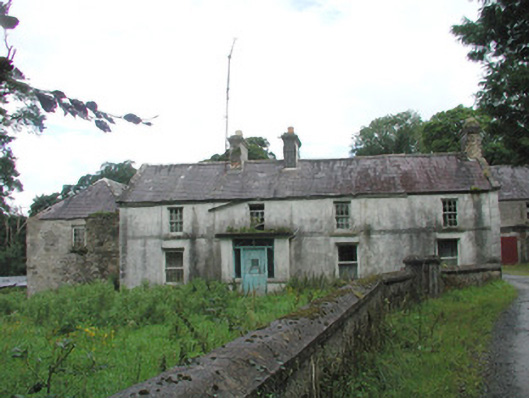 Knockalass Housefarm house · 1535 yd
 Kilturra church (in Ruins)Church · 1600 yd
 Ballyfahy Castle (in Ruins)Castle, unclassified · 1658 yd
 Tymon's HillMountain / peak · 1.8 mi
 Castle (in Ruins)Castle, tower house · 1.9 mi
 Brother WalfridMemorial · 4.7 mi
 Old Cave Burial GroundArchaeological place · 5.2 mi
 Muckelty HillMountain / peak · 5.6 mi
 Caves of KeshCave · 5.7 mi
 School CaveCave · 6.6 mi