What is recorded here
Fairy fort / earthen ringfort in Rathbaun is a fairy fort or earthen ringfort in Rathbaun, County Sligo, Ireland. It occupies a slight east-facing ridge slope in pasture and presents a raised circular area measured 23.5 metres north-south and 26 metres east-west. Two earthen banks surround an intervening fosse, while a possible third bank survives along the southeast arc. A disused quarry trench cuts from the southwest centre to the western inner bank, leaving spoil scattered across the interior.
In pasture, on a slight E-facing slope of a ridge. A raised roughly circular area (23.5m N-S; 26m E-W) defined by two earthen banks and an intervening fosse. The remains of a possible third earthen bank survives along the SE arc. The inner earthen bank (int. H 0.45m; ext. H 2.8m) is evident W-N, at NE and E-SSE, with a scarp surviving elsewhere. The intervening fosse (Wth 3.1m at base) and the outer earthen bank (int. H 1.5m; ext. H. 0.6m) are visible all round. A crescent-shaped berm abuts the base of the outer bank ENE-SSE. The S half of this crescent is defined along its edge by a low bank (int. H 0.35m; ext. H 0.9m) ESE-SSE and may be the remains of a third bank. The entrance is at ENE with a 2.6m wide break in the inner bank and a 1.70m wide break in the outer bank, joined by a ramp across the fosse. The interior slopes gently down to the E and is clear of overgrowth. A trench (L 10.5m; Wth 6m; D 0.75m) due to quarrying extends from SW of centre to the line of the inner bank at W. Small crescent-shaped quarry holes have removed the inner bank N-NE and SE-S. The quarries are now disused and the spoil dumped across the interior of the rath. A SW-NE field drain abuts the external face of the outer bank along the NW arc. A relict N-S field boundary abuts the external bank at SSE. There is a rectangular enclosure (SL033-001----) immediately to NW in the adjoining field.
The above description is derived from the published 'Archaeological Inventory of County Sligo' compiled by Ursula Egan, Elizabeth Byrne, Mary Sleeman with Sheila Ronan and Connie Murphy (Dublin Stationery Office, 2005).
Date of upload: 18 January 2008
The monument record does not grant public access. Check the route and ask the landowner before entering private land.
- What survives
- Recorded monument
Places near here
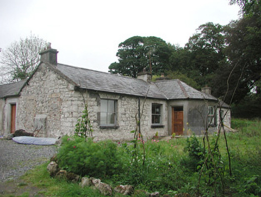 Somertonhouse · 418 yd
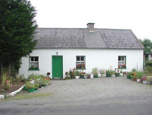 Temple Housegate lodge · 457 yd
 Enclosure in Rathnarrow (o'hara)Enclosure · 1482 yd
 European ashEuropean ash · 1533 yd
 IndicatedBawn · 1591 yd
 CrossCross, High cross · 1603 yd
 ElderElder · 1621 yd
 RathdoonyCastle, motte · 2.3 mi
 Brother WalfridMemorial · 3.3 mi
 Tullaghan HillMountain / peak · 4.2 mi
 Tymon's HillMountain / peak · 4.9 mi
 James MorrisonMemorial · 5.2 mi