What is recorded here
Fairy fort in Rathard, County Cork: a 31.5m earthen ring on an east-facing pasture slope, with two banks, a fosse between them, and an entrance recorded to the northeast. The west side is narrower and deeper while the east side is broader and shallower, as if the ground itself leaned into the daylight. Cattle still graze inside the old boundary, turning the fort into a living field rather than a dead relic.
In pasture, on E-facing slope. Circular area (diam. 31.5m) enclosed by two earthen banks with intervening fosse. Banks (ext. H 1.5m) and fosse to W narrower and wider respectively than earthworks to E side. Interior used for grazing. Hartnett (1939, 249) recorded entrance to NE.
The above description is derived from the published 'Archaeological Inventory of County Cork. Volume 3: Mid Cork' (Dublin: Stationery Office, 1997). In certain instances the entries have been revised and updated in the light of recent research.
Date of upload/revision: 14 January 2009
The monument record does not grant public access. Check the route and ask the landowner before entering private land.
- What survives
- Recorded monument
Places near here
 Fulacht FianFulacht fia · 577 yd
 Knocknahilian Househouse · 1135 yd
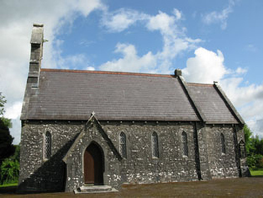 St Mark's Church of Ireland Churchchurch/chapel · 1574 yd
 Fulacht fia in KilcreaFulacht fia · 1.3 mi
 Kilcrea CastleWood · 1.9 mi
 Kilcrea Castle (in Ruins)Castle, tower house · 1.9 mi
 Pedunculate OakPedunculate Oak · 2.6 mi
 Graveyard in KilnagnadyGraveyard · 2.8 mi
 Castle Nalacht, site ofCastle, unclassified · 2.9 mi
 Charlie Hurley MemorialMemorial · 4.0 mi
 Sunday's WellSpring · 4.0 mi
 Sunday WellSpring · 4.1 mi