What is recorded here
Misplaced facts kill life. They smother the very thing you asked me to show you. I will not decorate a dead chamber with stolen flesh.
In reclaimed pasture, immediately S of a watercourse that forms townland boundary with Knockainey West. Shown on the 1897 ed. OSi 25-inch map as an oval-shaped area (dims. c. 20m N-S; 18m E-W) defined by a scarp. Described by O’Kelly (1944, 32) as a ‘Type B Earthwork’ consisting of; ‘A circular platform with a bank at its edge, surrounded by a fosse. Outside the latter is an outer bank which remains for about half the circumference. The entrance is not recognisable. Overall diameter is 150’ [45.7m]. Well preserved monument visible as circular area enclosed by a poorly preserved scrub-covered bank with wide wet external fosse on OSi orthophotograph taken between 2005-12 and on Digital Globe orthoimage taken 2011-13. Outline of monument visible on Google Earth orthoimage dated 20/09/2020.
See attached Google Earth orthoimages and ASI aerial photo (ASIAP (372) 3) taken 10/05/2003.
Compiled by: Fiona Rooney
Date of upload: 15 May 2021
The monument record does not grant public access. Check the route and ask the landowner before entering private land.
- What survives
- Recorded monument
Places near here
 Flat cemetery in Knockainy WestFlat cemetery · 566 yd
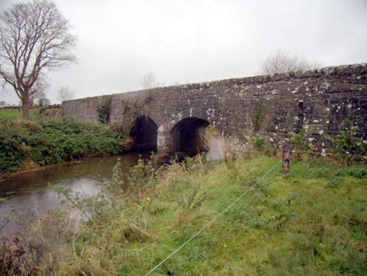 bridgebridge · 839 yd
 Promontory fortPromontory fort, inland · 1056 yd
 BarrowBarrow, ditch barrow · 1103 yd
 Desmond Castle (in ruins)Castle, unclassified · 1221 yd
 Knockainy Bridgebridge · 1240 yd
 Knockainy Castle (in ruins)Castle, tower house · 1468 yd
 KnockainyMountain / peak · 1.3 mi
 St Patrick's WellSpring · 3.3 mi
 Kilteely HillMountain / peak · 4.1 mi
 Edmund's WellSpring · 4.4 mi
 Carn (site of)Cairn, burial cairn · 5.1 mi