What is recorded here
Mortons and others may have occupied Rathaneague, but the fairies certainly did. They flew about at night like bright stars and could be seen through the holes in the fort wall. The chamber pots of the fairies could still be seen in the field, standing upright like small white markers. People avoided the place after dark because the fort belonged to them, not to the townland.
In pasture, on SW-facing slope. Slightly raised circular area (29.5m E-W) enclosed by earthen bank (int. H 0.9m; ext. H 1.9m) with external fosse (D 0.6m) SW->WNW. Entrance (Wth 3m) to SE. Interior saucer shaped; remains of circular hut site (diam. 5m) at centre, defined by earthen bank (H 0.5m). Bank stone faced externally to N where laneway skirts site.
The above description is derived from the published 'Archaeological Inventory of County Cork. Volume 2: East and South Cork' (Dublin: Stationery Office, 1994). In certain instances the entries have been revised and updated in the light of recent research.
Date of upload/revision: 14 January 2009
The monument record does not grant public access. Check the route and ask the landowner before entering private land.
- What survives
- Recorded monument
Places near here
 DolmenWedge tomb · 729 yd
 Megalithic structure in RathaneagueMegalithic structure · 827 yd
 Caherduggan Housecountry house · 1.1 mi
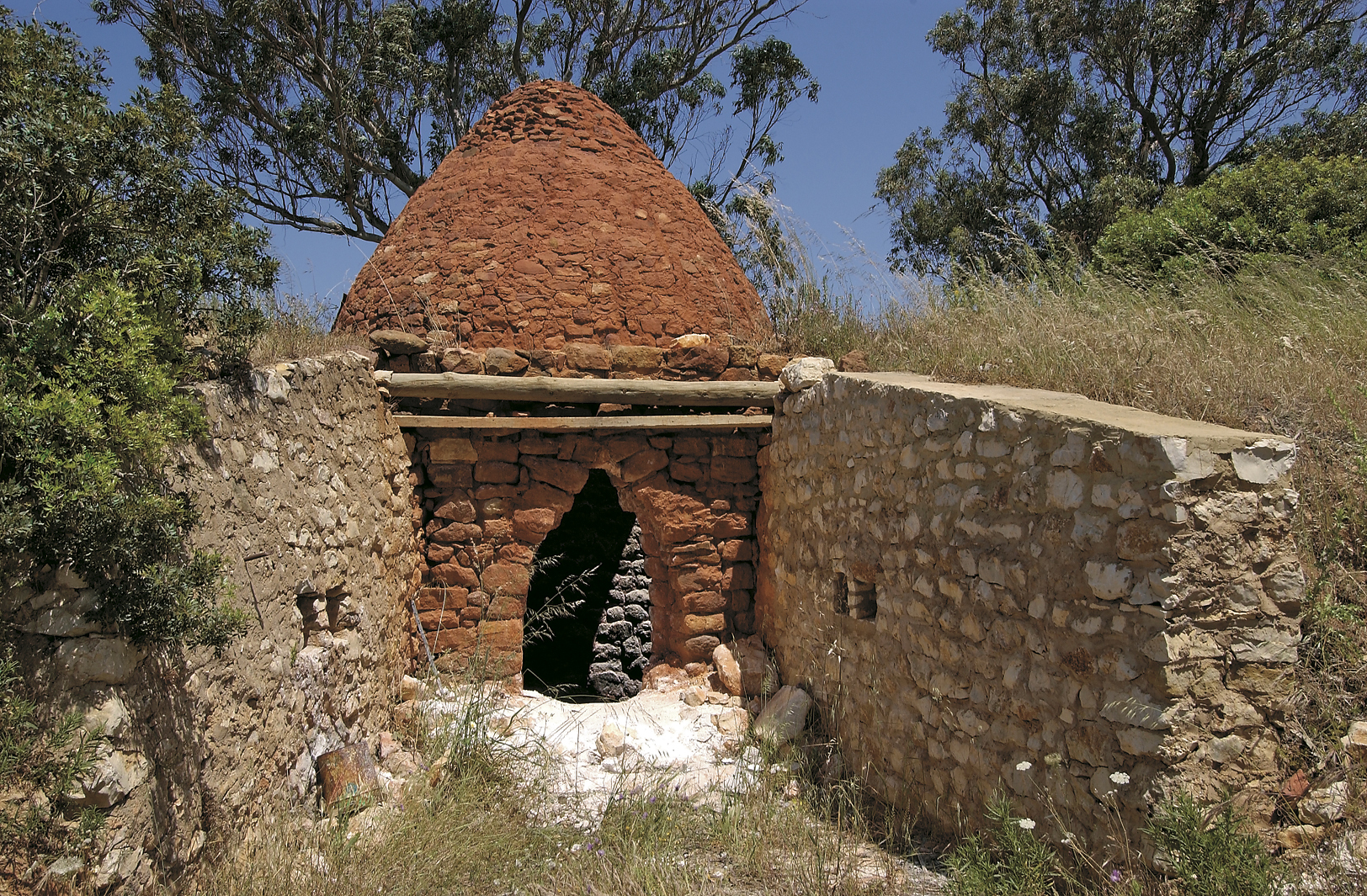 KilnKiln, lime · 1.2 mi
 Monananig WoodsWood · 1.4 mi
 Devonshire's HillMountain / peak · 1.8 mi
 Court (site of )Castle, unclassified · 1.9 mi
 Rathcormac massacremassacre · 2.0 mi
 Moanbaun ForestForest · 2.6 mi
 Tower (in Ruins)Bawn · 3.1 mi
 Graveyard in KillasseraghGraveyard · 4.8 mi
 Gleeson MemorialMemorial · 5.9 mi