What is recorded here
No. I will not answer with a invented story about a real place.
The following description is derived from both the published 'Archaeological Inventory of County Louth' (Dublin: Stationery Office, 1986) and the 'Archaeological Survey of County Louth' (Dublin: Stationery Office, 1991). In certain instances the entries have been revised and updated in the light of recent research.
Date of upload/revision: 17 July 2007
Circular area (int. diam. c. 33m) enclosed by two degraded banks with intervening fosse. Inner bank (Wth 9m, H 1m internally, 4m externally) now reduced to a scarp in places. Fosse (Wth 4m) and earth and stone outer bank (Wth 4m, H 0.7m internally, 1m externally) except on the W side where the slope of the ridge is very steep. Ancient entrance gap in both banks with causeway at E. Sub-rectangular annexe (int. dims 29m E-W, 26m N-S) adjoining outer bank at NNE enclosed by an earth and stone bank (Wth 2.8m, H 0.7m internally, 0.8m externally). Possibly the site referred to as 'two circles' by Isaac Butler in his journal of 1744 (CLAJ 1922, 102).
The monument record does not grant public access. Check the route and ask the landowner before entering private land.
- What survives
- Recorded monument
Places near here
 Grange Abbey (in Ruins)Church · 660 yd
 Saint James's Catholic Churchchurch/chapel · 754 yd
 The BushPicnic place · 853 yd
 Enclosure in Mullaghattin (dundalk Lwr By; Carlingford Par.)Enclosure · 1038 yd
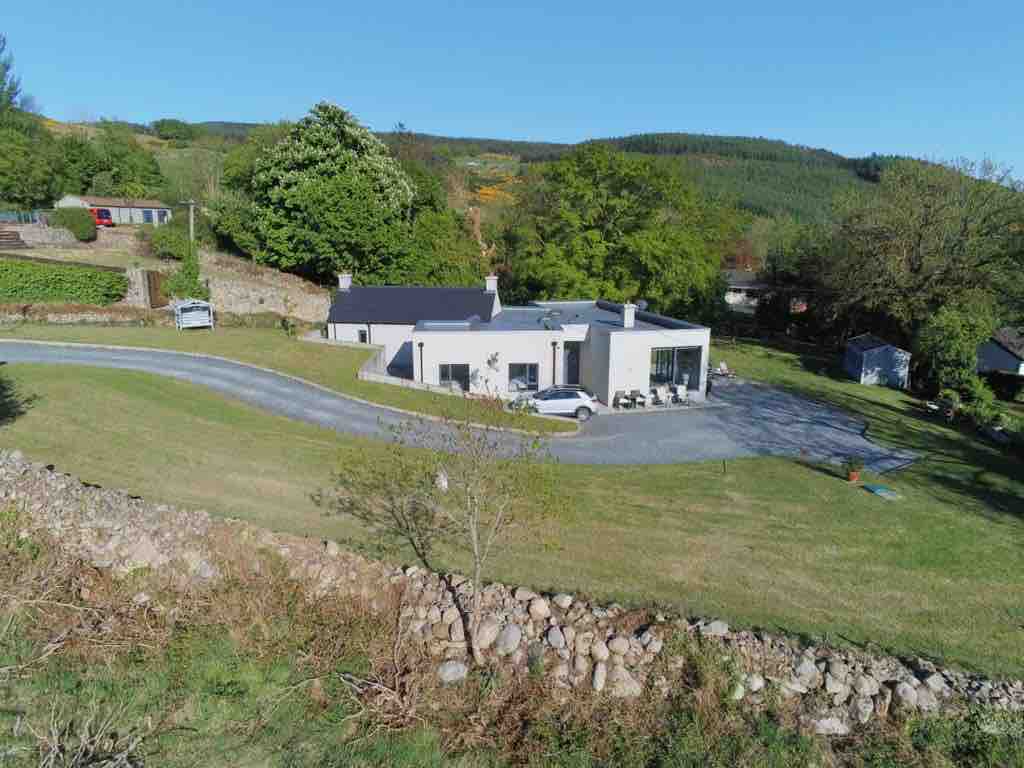 Enclosure in BallavertyEnclosure · 1368 yd
 Grange UpperMountain / peak · 1644 yd
 Cooley CastleCastle, tower house · 1.3 mi
 Ballug CastleCastle · 1.3 mi
 BarnavaveMountain / peak · 1.8 mi
 St James WellSpring · 2.1 mi
 Carlingford - Loop 1A- Commons LoopWalking route · 2.3 mi
 Graveyard in Liberties OF CarlingfordGraveyard · 2.4 mi