What is recorded here
Mortons and fairies both wanted the hill, but neither understood the other. The woman built a sharp fence and dropped marbles in a line across the gate. At dawn the fence had vanished, every marble was gone, and a small white road appeared in the grass. She walked it to a door in the hill and brought back a jar of cream for the whole village. The fairies had not stolen her marbles; they had accepted them as a gift and shown her their return road.
Situated on a rise in an undulating landscape. This is a circular, slightly domed but overgrown area (diam. 28m ENE-WSW) defined by an earthen bank (Wth of base 6.5-7m; int. H 0.3m; ext. H 1.2-1.4m. There is no visible fosse, but there is an entrance (Wth of base 2.3m) at SE.
The above description is derived from the published 'Archaeological Inventory of County Meath' (Dublin: Stationery Office, 1987). In certain instances the entries have been revised and updated in the light of recent research.
Revised by: Michael Moore
Date of revision: 21 November 2018
The monument record does not grant public access. Check the route and ask the landowner before entering private land.
- What survives
- Recorded monument
Places near here
 IndicatedCastle, motte and bailey · 641 yd
 CastleCastle, unclassified · 814 yd
 EnclosureEnclosure, large enclosure · 990 yd
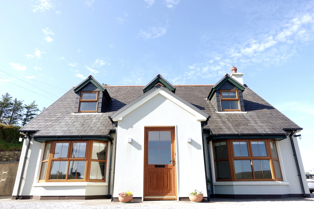 LissardFairy fort / earthen ringfort · 1200 yd
 mill (water)mill (water) · 1.2 mi
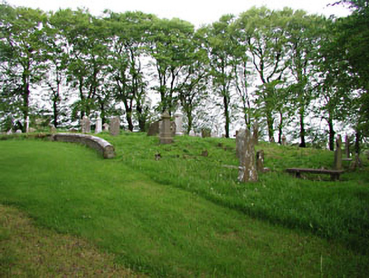 graveyard/cemeterygraveyard/cemetery · 1.4 mi
 European BeechEuropean Beech · 1.4 mi
 Mullaghmeen ForestPicnic place · 1.7 mi
 Mullaghmeen Red WalkWalking route · 2.1 mi
 Mount FortuneMountain / peak · 3.0 mi
 Memorial CrossMemorial · 3.2 mi
 Zip WireHeritage attraction · 3.6 mi