What is recorded here
Half-hidden under bramble and grass, the ringfort in Raragh keeps its shape through a broad earthen bank and a ditch that still holds water where the land is soft. Its south-east gap may be the entrance used when people lived inside, while the rest has been forgotten, infilled or simply stopped being seen. What is left is a circle large enough for homes, firelight and ordinary days, now returning to the field.
Raised circular area (int. diam. c. 30m) enclosed by a substantial earthen bank and a fosse best preserved from ESE-S-SW where it is partly waterlogged and otherwise infilled. Break in bank at SE may represent original entrance. Internal area densely overgrown with vegetation.
The above description is derived from the published 'Archaeological Inventory of County Cavan' (Dublin: Stationery Office, 1995). In certain instances the entries have been revised and updated in the light of recent research.
Date of upload/revision: 22 December 2008
The monument record does not grant public access. Check the route and ask the landowner before entering private land.
- What survives
- Recorded monument
Places near here
 Giants GraveArchaeological place · 675 yd
 Horse-chestnutHorse-chestnut · 1.1 mi
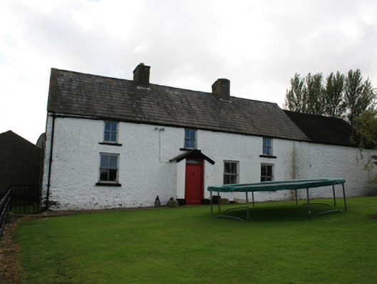 farm housefarm house · 1.2 mi
 Ice HouseArchaeological place · 1.3 mi
 Castle ruinsCastle, unclassified · 1.3 mi
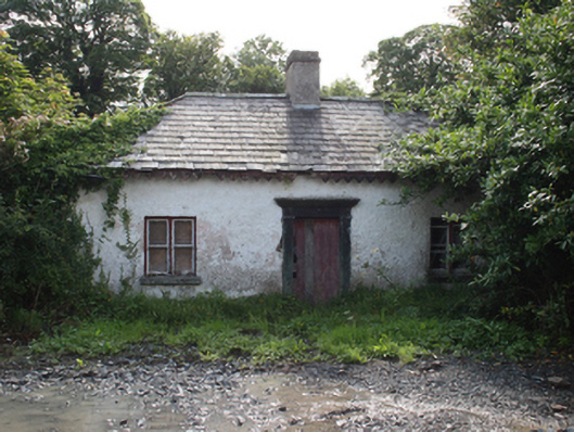 gate lodgegate lodge · 1.3 mi
 Drumerlough MoreMountain / peak · 1.4 mi
 In Memory of Our DadMemorial · 1.4 mi
 Dún a Rí Forest ParkForest · 1.4 mi
 CabraMountain / peak · 1.5 mi
 Mass-rock in Camaghy,tonaneeveMass-rock · 1.7 mi
 Castle in ruinsCastle, unclassified · 2.2 mi