What is recorded here
Situated on SE facing slope of rising overlooking Lough Lene to the NW, N & E. Ringfort (WM008-023----) 200m to SW. No surface remains visible. The site has been levelled. Depicted on the 1911 ed. OS 6-inch map as a sub-circular shaped area (approx. diam. 32m N-S; 29m E-W).
Compiled by: Frank Coyne and Caimin O'Brien
Date of upload: 19 April 2017
The monument record does not grant public access. Check the route and ask the landowner before entering private land.
- What survives
- Recorded monument
Places near here
 Castle IslandIslet · 618 yd
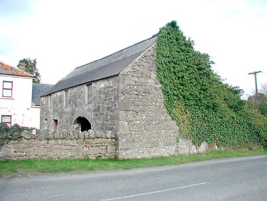 outbuildingoutbuilding · 855 yd
 Hachured, FortfieldFairy fort / earthen ringfort · 979 yd
 Saint Mary's Catholic Churchchurch/chapel · 985 yd
 CaltraghEcclesiastical enclosure · 1318 yd
 South East GateHeritage attraction · 1.8 mi
 Christians Castle in ruinsCastle, unclassified · 1.8 mi
 MoatCastle, motte and bailey · 1.9 mi
 St Feichin's MillHeritage attraction · 1.9 mi
 European ashEuropean ash · 2.0 mi
 Ben of ForeMountain / peak · 2.2 mi
 The FurzeForest · 3.2 mi