What is recorded here
No visible entrance connects the main fort to the attached annexe, creating a strange division where two spaces share one ridge but refuse to speak. The main circle slopes downward to the south beneath a thick earthen bank, while the separate annexe stretches beside it with its own gap and faint western ditch. This layout suggests the site may have served two different purposes at once, perhaps a dwelling and a workspace, or a home and a boundary marker for someone who valued control as much as shelter.
Situated just SE of the summit of a NW-SE ridge. This is a circular overgrown area (diam. 31m) that slopes down to the S (H 1.5m) defined by an overgrown earthen bank (Wth of base 5-5.2m; int. H 0.5m at S to 1m at N; ext. H 1.5m at S to 2.7m at N), and an outer fosse (at N: Wth of top 8m; Wth of base 2m; ext. D 1.4m) S-W-NNE. The original entrance (Wth of base 2m) is at ESE.
There is a subrectangular or lunate and grass-covered annexe (dims 14-20m N-S; 50m E-W) defined by slight but overgrown banks or scarps (at S: Wth 1m; ext. H 1.4m) attached to the S. There is a slight external fosse on the W side, and the annexe has an entrance gap (Wth of base 2.8m) at SE, which is partly modern. There is no direct communication between the rath and the annexe.
The above description is derived from the published 'Archaeological Inventory of County Meath' (Dublin: Stationery Office, 1987). In certain instances the entries have been revised and updated in the light of recent research.
Compiled by: Michael Moore
Date of revision: 31 August 2018
The monument record does not grant public access. Check the route and ask the landowner before entering private land.
- What survives
- Recorded monument
Places near here
 Enclosure in RaloaghanEnclosure · 31 yd
 Learys FortFairy fort / earthen ringfort · 1.2 mi
 Miltown GlenWood · 1.3 mi
 The CurraghWood · 1.7 mi
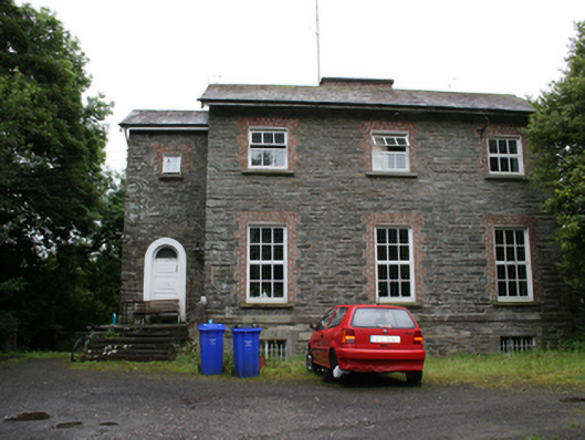 rectory/glebe/vicarage/curate's houserectory/glebe/vicarage/curate's house · 1.8 mi
 bridgebridge · 2.0 mi
 Cloghreagh Castle in RuinsCastle, unclassified · 2.4 mi
 BarleyhillMountain / peak · 2.6 mi
 CabraMountain / peak · 2.8 mi
 In Memory of Our DadMemorial · 3.0 mi
 Natural Play AreaMemorial · 3.1 mi
 Castle ruinsCastle, unclassified · 3.1 mi