
What is recorded here
Situated just SE of the summit of a NW-SE ridge. There is a subrectangular or lunate and grass-covered annexe (dims 14-20m N-S; 50m E-W) defined by slight but overgrown banks or scarps (at S: Wth 1m; ext. H 1.4m) attached to the S of rath (ME005-055----). It has a slight external fosse on the W side and an entrance gap (Wth of base 2.8m) at SE, which is partly modern. There is no direct communication between the rath and the annexe.
Compiled by: Michael Moore
Date of upload: 31/08/2018
The monument record does not grant public access. Check the route and ask the landowner before entering private land.
- What survives
- Recorded monument
Places near here
 Learys FortFairy fort / earthen ringfort · 1.2 mi
 Miltown GlenWood · 1.3 mi
 ToberarneyHoly well · 1.3 mi
 The CurraghWood · 1.7 mi
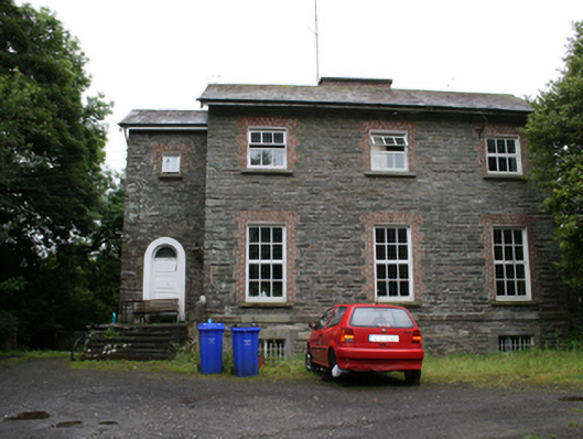 rectory/glebe/vicarage/curate's houserectory/glebe/vicarage/curate's house · 1.8 mi
 bridgebridge · 1.9 mi
 Cloghreagh Castle in RuinsCastle, unclassified · 2.4 mi
 BarleyhillMountain / peak · 2.6 mi
 CabraMountain / peak · 2.8 mi
 In Memory of Our DadMemorial · 3.0 mi
 Natural Play AreaMemorial · 3.1 mi
 Castle ruinsCastle, unclassified · 3.1 mi
Other information
Photo: Credit not shown in the picture search · Rights wording not checked; contact us if this picture should be removed