What is recorded here
Half a kilometre of Monaghan field, a ring of earth still stands at the end of a ridge, two gaps cut for entry and nothing more. People called it a fairy fort because the shape refused explanation, but the gaps and bank suggest human hands, not fantasy. Field walls chewed the edge for centuries until four intrusions remained by 2000. The ring does not need belief to be strange; it needs only to be seen, measured and left alone.
Situated at the E end of an E-W drumlin ridge. This is a subcircular grass and rush-covered area (dims 42m NE-SW; 37.5m NW-SE) defined by an earthen bank (at SE: Wth of base 2.7m; Wth of top 0.8m; int. H 0.85m; ext. H 1.9m). There was no visible fosse but there were entrances at NE (Wth of base 2.1m) and ENE (Wth of base 1.6m). Field banks encroached on the perimeter at NW (2), NNW, NE, SE, SSE and SSW, but this had been reduced to four by 2000 (OSAP).
The above description is derived from the published 'Archaeological Inventory of County Monaghan' (Dublin: Stationery Office, 1986). In certain instances the entries have been revised and updated in the light of recent research.
Compiled by: Michael Moore
Date of revision: 22 February 2018
The monument record does not grant public access. Check the route and ask the landowner before entering private land.
- What survives
- Recorded monument
Places near here
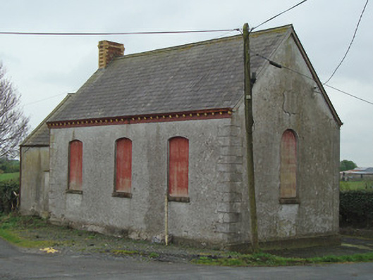 Crosses Protestant Hallhall · 1758 yd
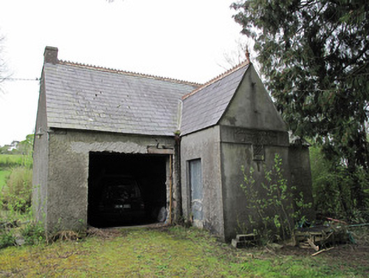 Ballinagall Orange HallOfficially recorded historic building · 1.2 mi
 Lisleitrim FortFairy fort / earthen ringfort · 1.4 mi
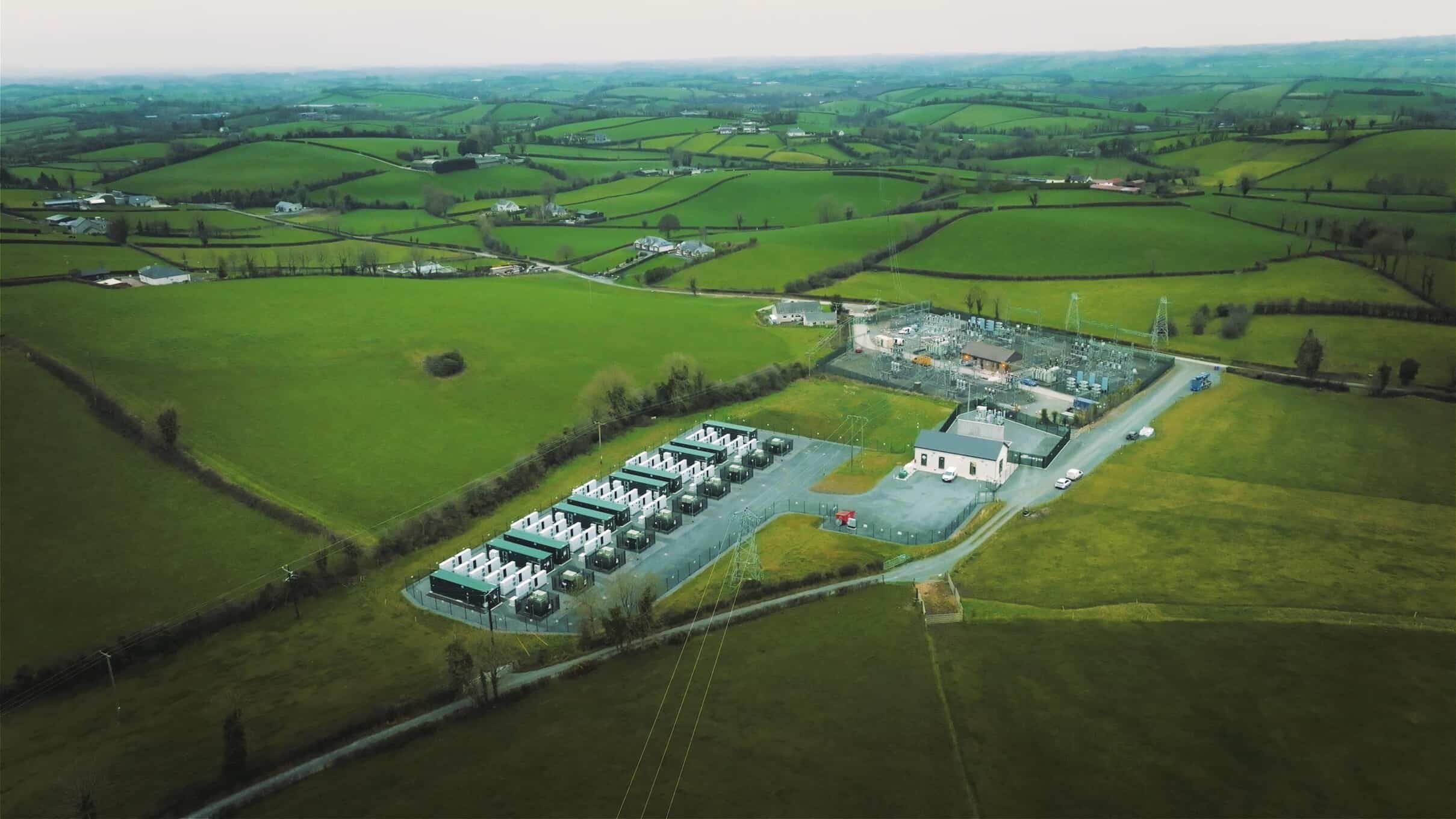 Lisdrumdoagh fortHilltop enclosure · 1.9 mi
 Lady Rossmore's Cottage (Ruin)Heritage attraction · 2.0 mi
 Mullaghmatt ForestWood · 2.1 mi
 Bawn in Roosky (monaghan By., Monaghan Par.)Bawn · 2.2 mi
 Rossmore MonumentMemorial · 2.2 mi
 Ailinn GiantHeritage attraction · 2.3 mi
 Cortolvin ForestWood · 2.4 mi
 Castleshane WaterfallWaterfall · 2.5 mi
 Battle of ClontibretBattlefield · 4.5 mi